Beinn Airigh Charr - 791m
Thursday 17th April 2008
Thursday 17th April 2008
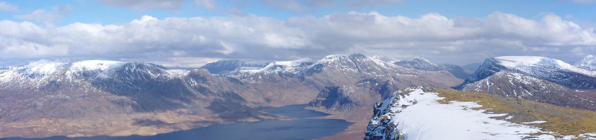
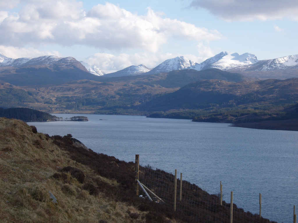
 Weather/Conditions: A good day with blue skies and cumulus cloud. The weather was pleasant although every so often a strong eastern wind would blow. At the summit it was particularly strong, enough to make me lose balance but the air was clear and views extended to the Western Isles, Torridonian mountains, Skye Cullin to the south and the Foinaven area in the north.
Accompanying: Solo
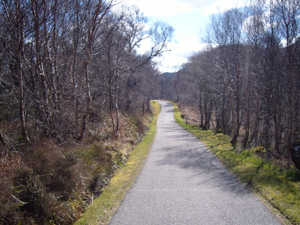
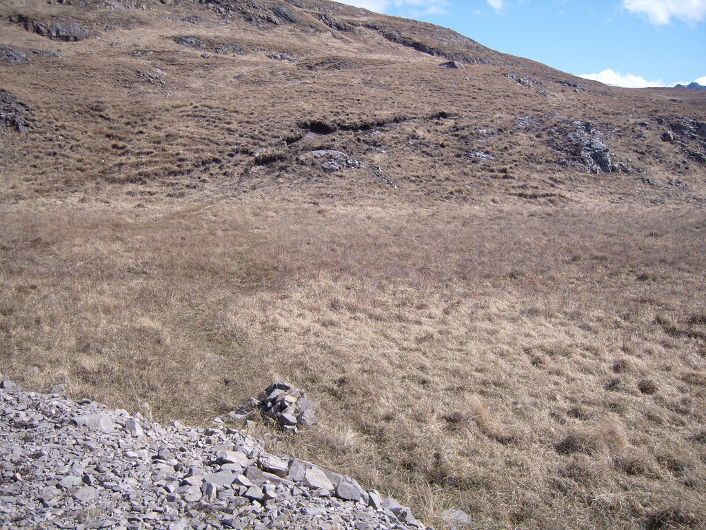
I was driven down the road from Poolewe which leads over the north bank of the River Ewe (the shortest river in Britain at one mile). We expected to be stopped somewhere by a shut gate, and I'd walk from there. Passing the first gate was fine, despite the 'no unauthorised access' sign, however the second gate was shut. As things turned out I was to begin walking here. Although I had a map, compass, GPS and every other potentially life saving gadget under the sun, I began to feel a bit mad. Even the weather was on my side but climbing such a remote mountain, by my standards, alone was slightly new territory. Nevertheless, I set off at 1.10pm with map and GPS in hand. The weather was excellent if not blustery at times and cold eastern wind gusted every so often.
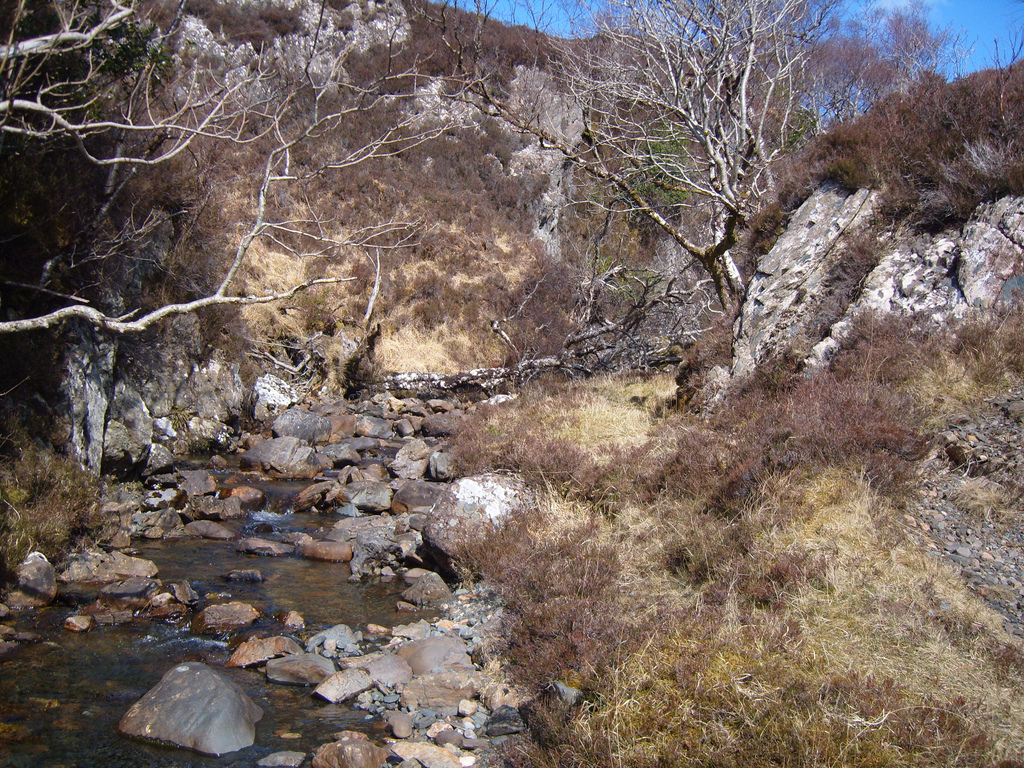
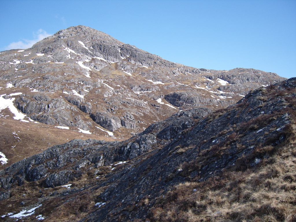
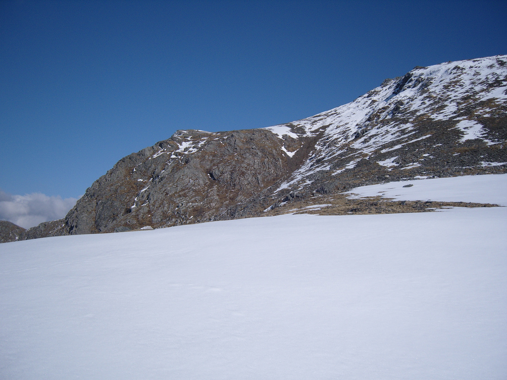
Walk in to Beinn Airigh Charr
I followed the track for about twenty minutes. although as it detoured off inland, the GPS indicated where I could shortcut across the rough ground to the foot of the mountain. A faint path should hopefully make walking easier, though no turn off could be spotted so I walked on a bit. Sure enough I found a roadside cairn marking the turn off point. A path quickly gave me an easy way to get towards the mountain, although even having walked for nearly half an hour, the mountain had barely changed shape. It looked like I'd made no progress but I battered on with the walking anyway. I'd get there eventually.
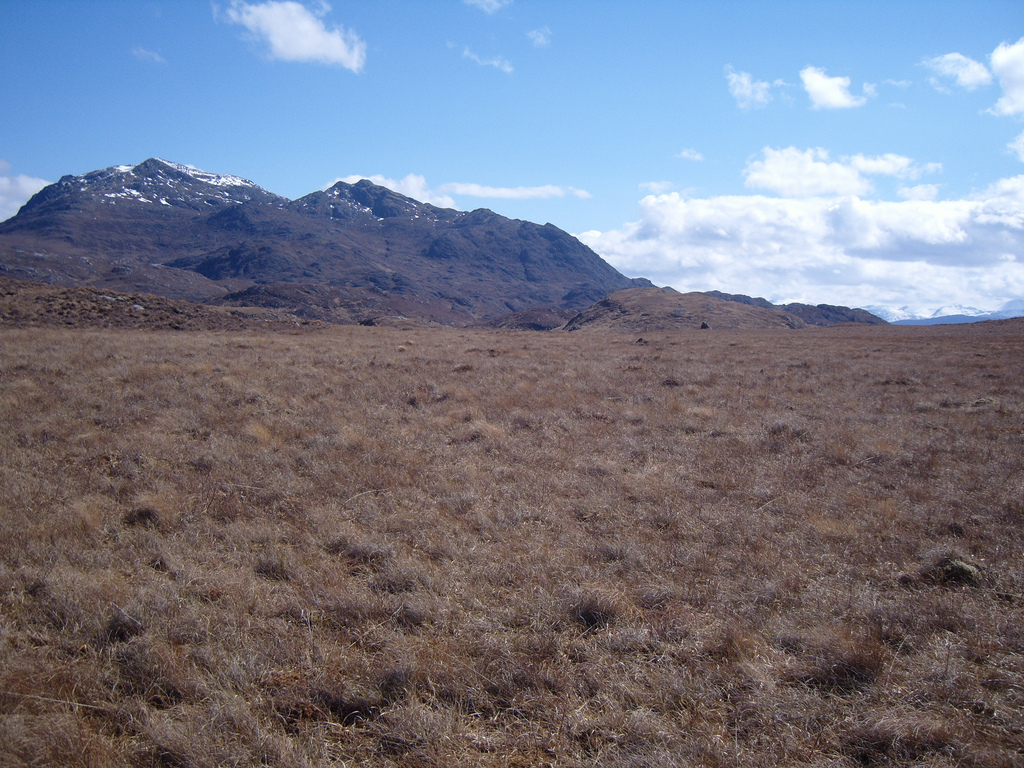
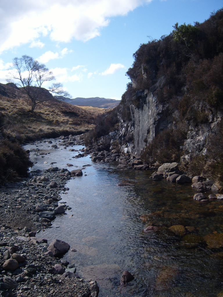
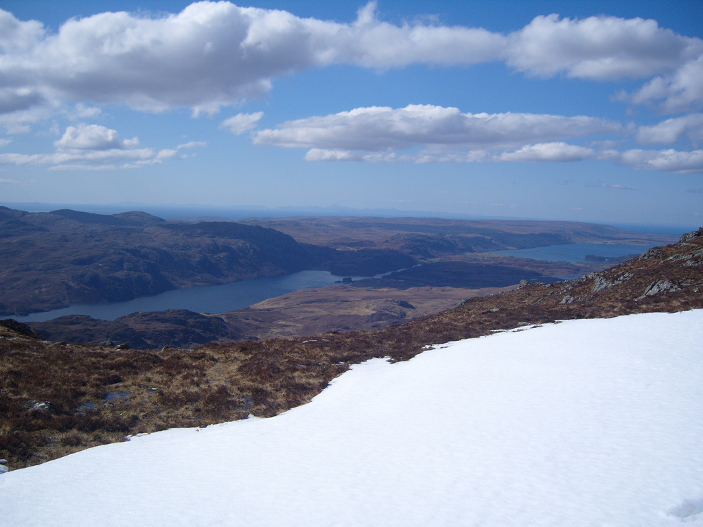
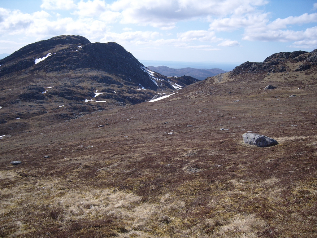
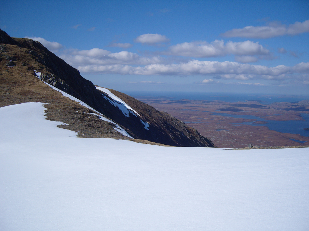
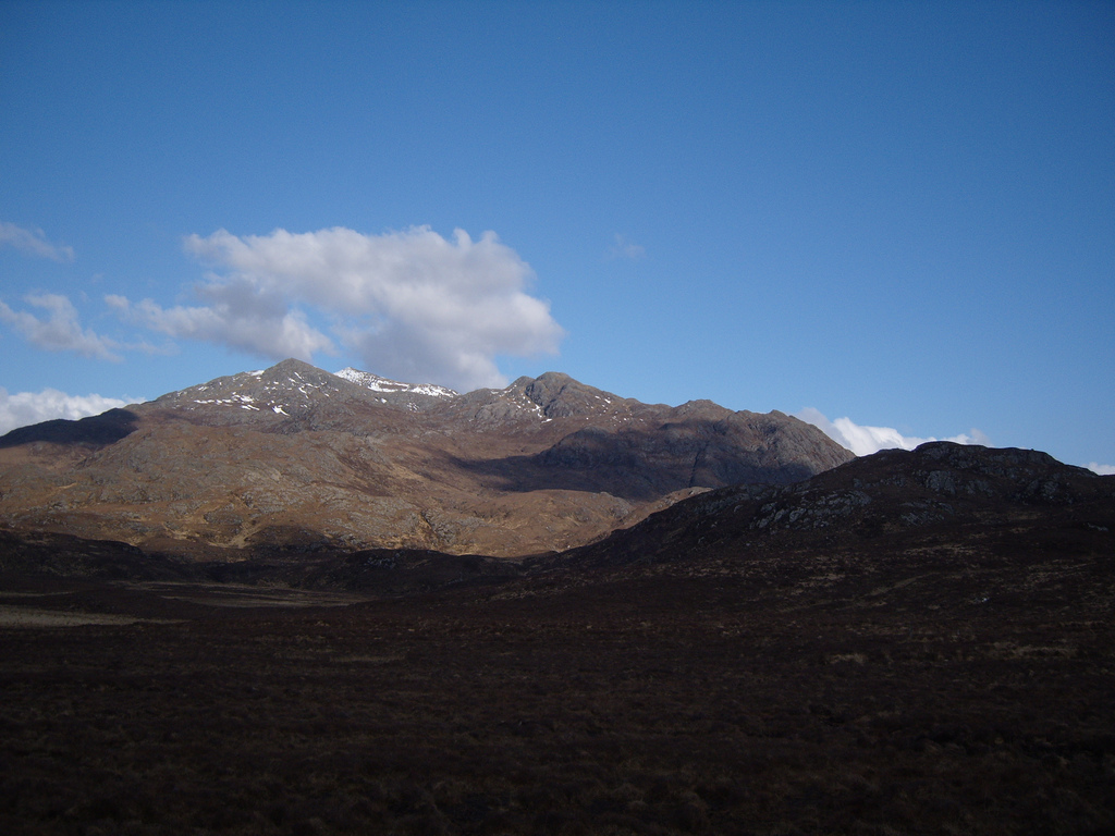
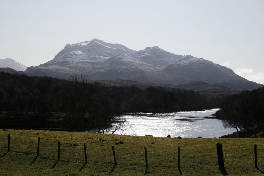
So I simply followed the trail over the moor, taking a comfortable pace and trying not to let myself to get slowed by boggy sections. I was making fine progress until I began loosing the path. OS had drawn a great line over the map where the path should be, but on the ground, there was nothing to be found after a point. The rest of the shortcut was a mixture of heather, grass and occasional bog. There was no path though, I'd given up on locating it again and I walked off-road until I finally met up with by the main track again. It once more snaked its way along above the shores of Loch Maree, and I followed it to my starting point. Beinn Airigh Charr was mightily impressive, a very picturesque mountain, and I had the Torridon Munros to my right. Such an impressive place! It seemed odd that I was walking on the border to the most remote area in the UK: 20-or-so kilometres of rough ground lay to my north without a single road running through. Its small by world standards, but it's otherwise almost unheard of in the UK.

Ascent
I reached the beginning of the ascent at 2.05pm, and came across another cairn to mark the turnoff point. I followed the path, as the mountain began looming above - I had technically only started but I felt far closer to the mountain than when I had began walking. From this point, the path was easy enough to follow. It cut a route through the heather, and there was really no problem in following it. There was one point shortly after the turnoff that the path degenerated to a boggy mess, but it continued straight on ahead - no problems.
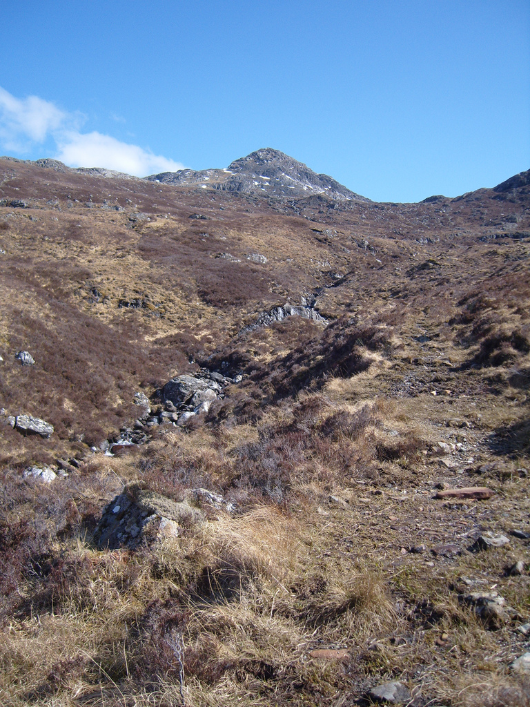

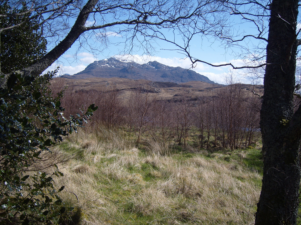
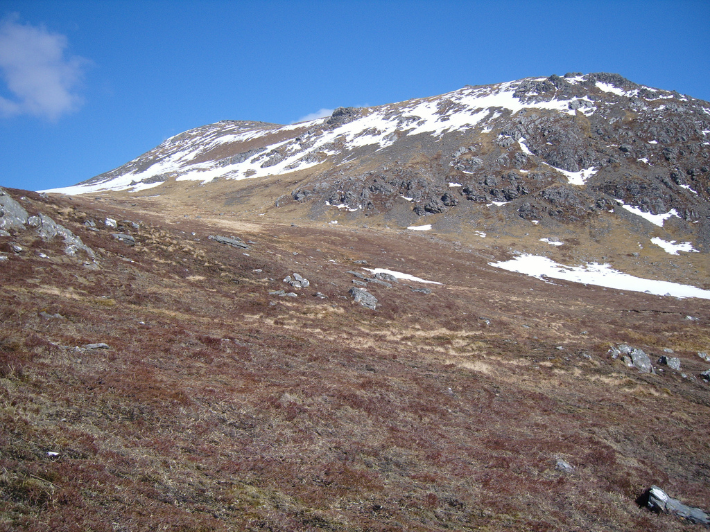
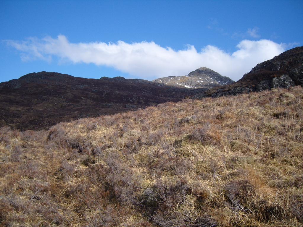
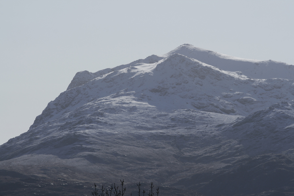
There were no views of the mountain at this point, but just as the path began to follow the Allt Aconair, Spidean nan Clach began to reveal itself. It was an impressive sight: it's conical form, lit by sunlight was beautiful and grew larger and larger as I ascended towards it. I had a great time ascending through Coire nan Dearcag. Dad phoned a few times making sure all was going well, and it sure was.
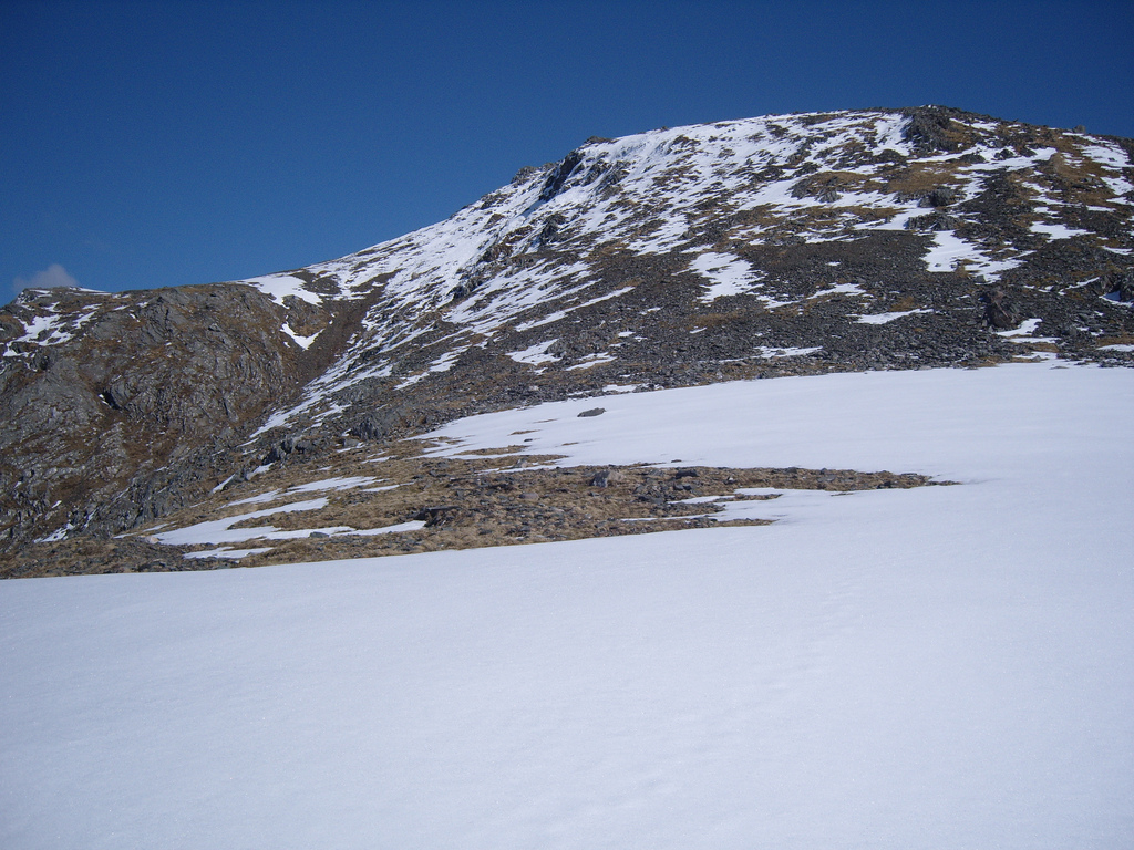
The path had split up and become nonexistent around 500m, so I worked my own way up towards the bealach. It was all easy ground however and easy to walk over. As I was approaching the bealach at 569m, the easterly wind began blowing over the top and it was fairly strong although at this point not too bad. I came over the top of the bealach at 569m having made surprisingly little effort and the Torridon mountains revealed themselves at once. I didn't stop and began the final ascent to the summit.
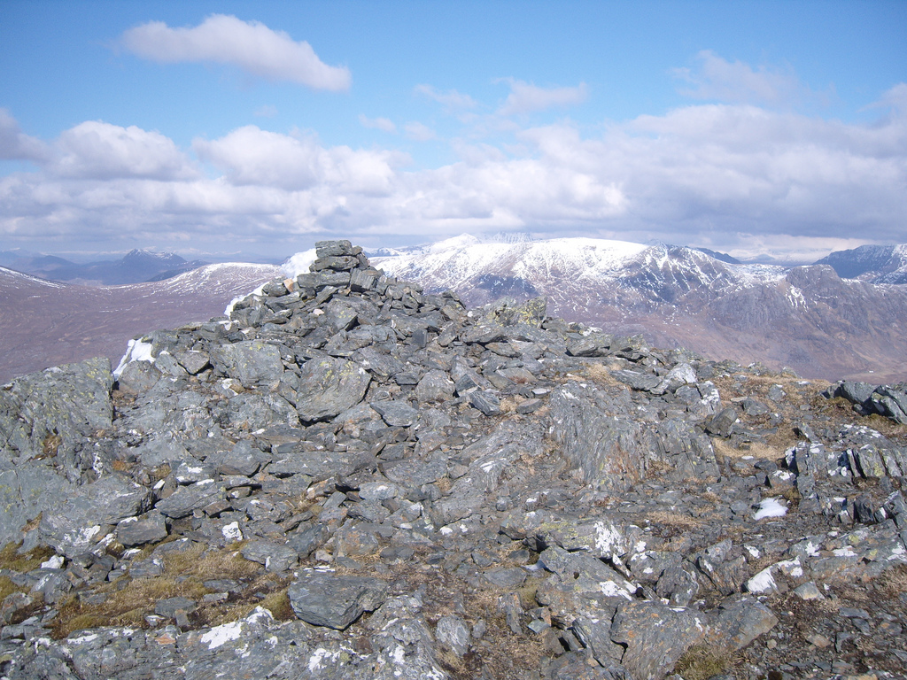
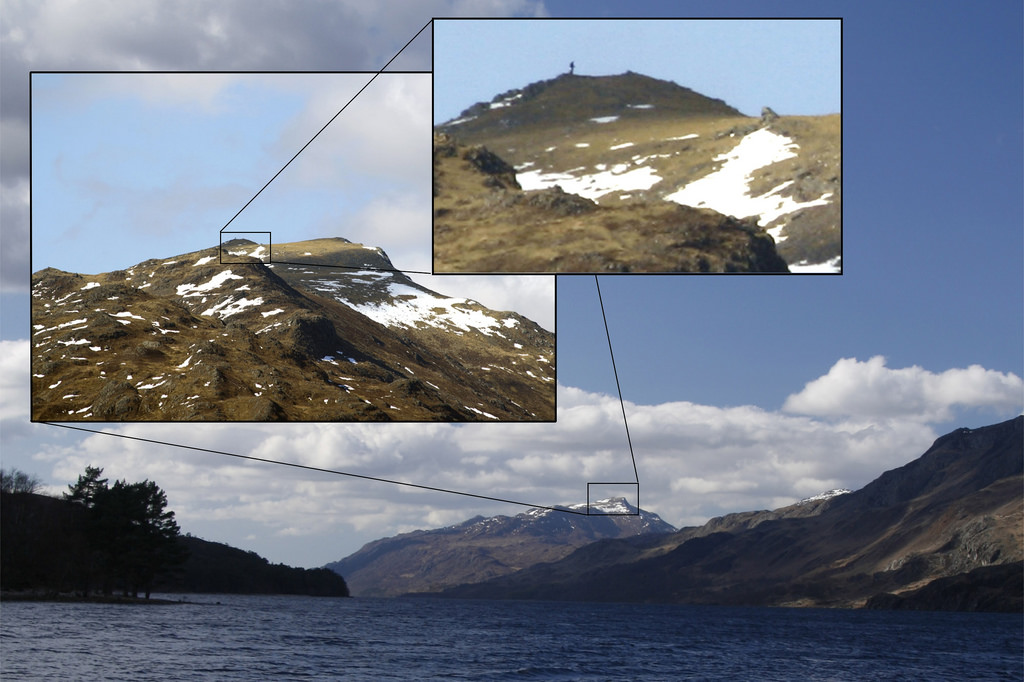
A wind was blasting its way over the tops and with an increase of snow, I brought the trekking poles out to help myself up a little. It didn't take too long to ascend the final slopes of the mountain and it was all easy going. One brief moment left me with the realisation that I'd walked myself into steep ground high above Coire nan Laogh, but I left the steeper terrain and followed the last snowfields up to the summit at 4.05pm. I phoned dad from there and asked his location. He was one the opposite side of Loch Maree with a long lens on his camera so I asked he take a summit photo. The resultant photo is below, where you can also see the plastic bag I'm holding, incredible detail for a photo taken so far away. See the Cobbler on 19th August 2007 for the same idea.
Descent and walk out
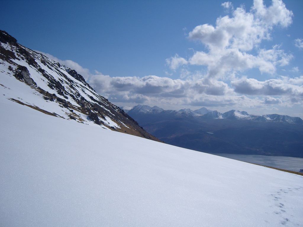
I did not stay at the summit for long and after taking a quick panorama, I left, quickly belting my way down the hillside, through snow and scree. It was an exhilarating way to descend, I can see why skiing is so popular and wouldn't mind trying it myself some day. I descended past the bealach at 569m and down into the corrie. It was an easy going walk down the path and at 5pm dad phoned again, saying I would get picked up at 6.30pm. That sounded about right to me. Half an hour back to the track, and an hours walk out.
As things turned out, I arrived at the track at 5.40pm and began the walk out. That too was easy going and made for an easy journey back and I headed over moorland as the sun lowered in the sky. I reached the track and followed it back to the car, where I arrived at 6.35pm, five minutes over. The drive back was short, we were staying just across the river. I'd enjoyed myself so much, and knew that climbing this would be a good way to remember the holiday.
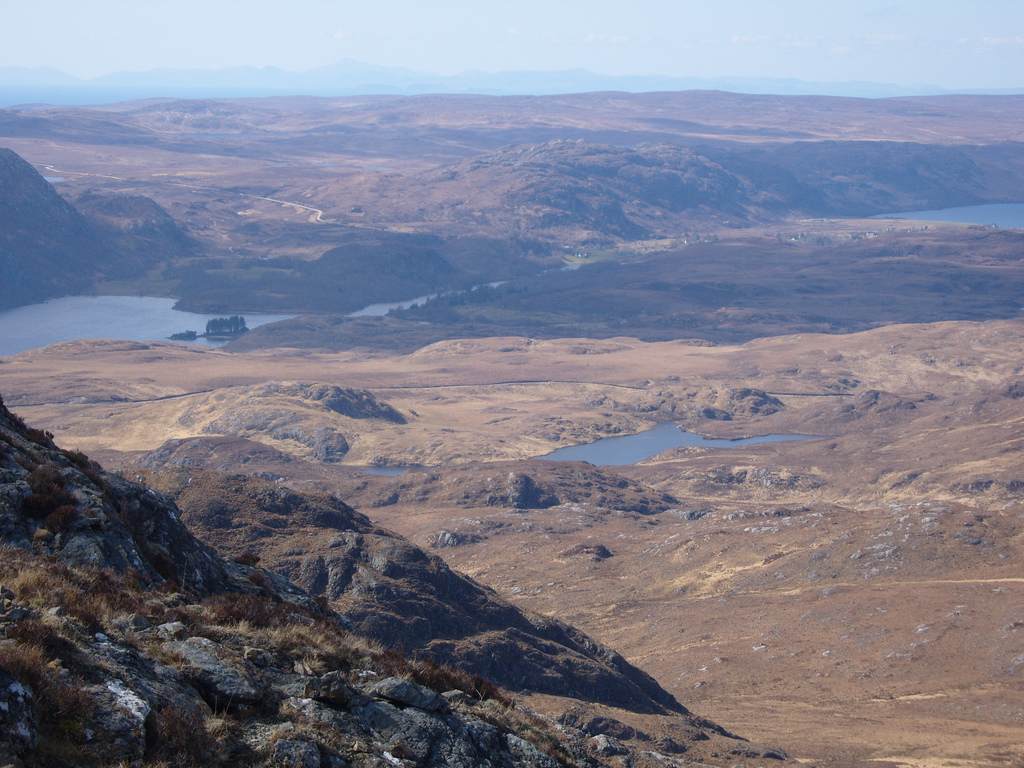
We'd been in Poolewe since Saturday the 12th but I hadn't climbed much. My original plan had been to do a lot of hillwalking but that hadn't come off. On the other hand, I'd seen a new part of Scotland and I was more than happy with that. The whole area had such a different vibe to the Scotland I knew that it didn't feel like Scotland at all, just a wild place, rich in culture, history and geology as well as being incredibly beautiful. The next day dad and I travelled north through Ullapool, past Stac Pollaidh, Suilven (via. Lochinver) up to Loch Assynt and south again taking the main road to Ullapool. When Saturday came it was, regretfully, time to go home.
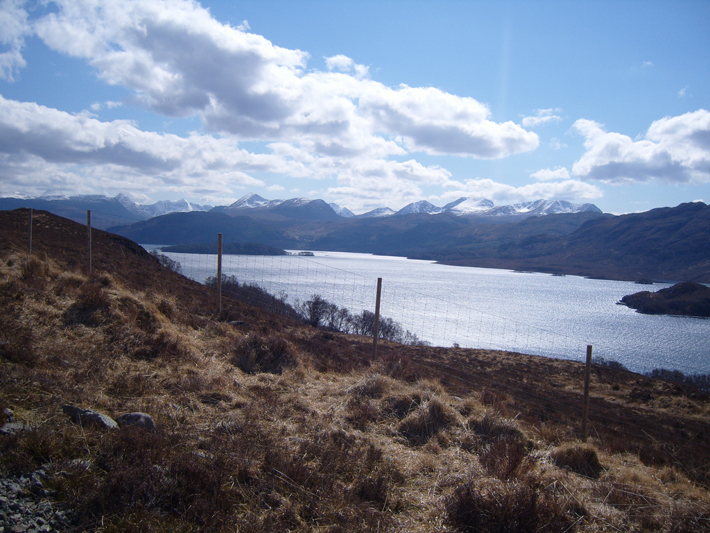
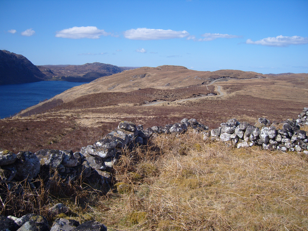
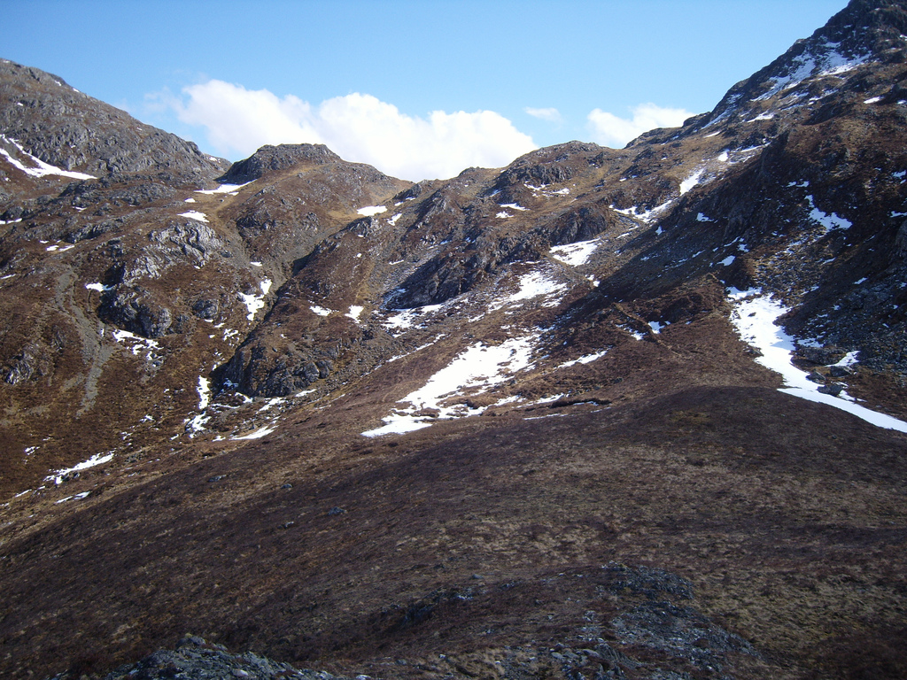
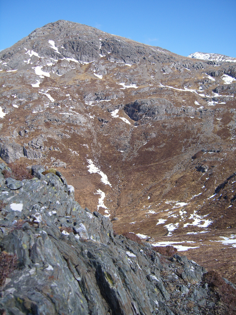
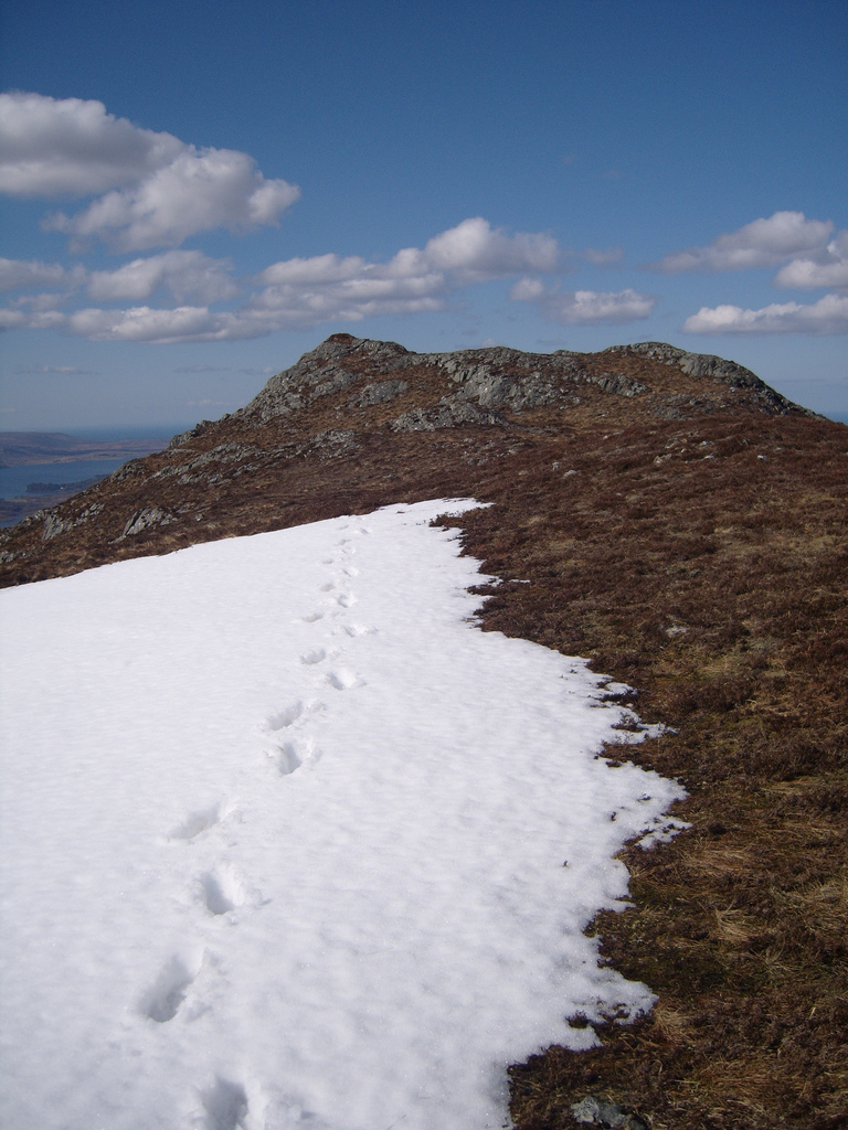
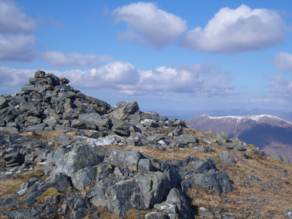
Other views of Beinn Airigh Charr
360° Panorama
Beinn Airigh Charr
Written: 2008-04-22
Edited: 2009-03-26
Edited: 2009-03-26