Meikle Bin - 570m
Sunday 31st January 2010
Sunday 31st January 2010
 Weather/Conditions: Walked at night, so only moonlight and city lights to see by. I didn't use a headtorch once, nor a map, though that was in part thanks to the fact that this was a route Ian knew well.
Distance/Ascent/Time: 10.8km / 530m / 4h
Accompanying: Ian
Ian drove to Queenzieburn then the farm roads above the village. He knew this route although I didn't and these parts of the Campsie Fells would be completely new to me. I tend to stick to the Strathblane area...
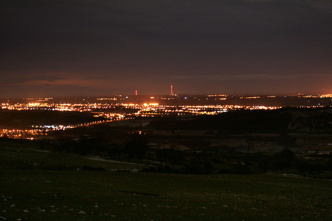
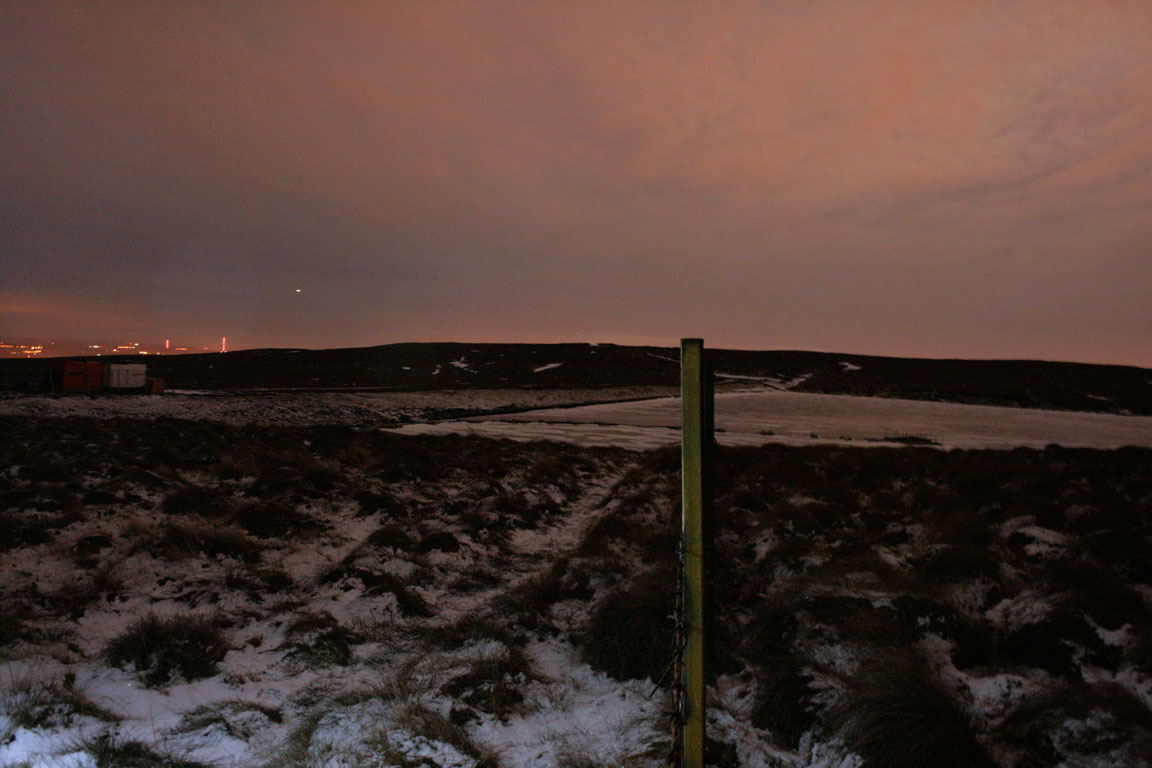
We parked in a lay-by above Queenzieburn before setting off. I would never have known that this route existed, but Ian knew it well. The moon was out, bright and full, (which was the primary reason for choosing to walk at this time) and the lights of the Central Belt illuminated the hills too. We walked up past Corrie and followed a wide track onto the hills above. This tarmac track exists because it serves Birkenburn Reservoir, and it offered easy walking all the way to the reservoir.

The going wasn't entirely easy though. Snow and ice lay on the ground from the outset and it was way beyond midnight by the time we got up high. We would have started out earlier had I not been busy until late, but it also meant walking while tired. And I hate walking when I should be sleeping. I'd spent my evening at the IMAX in Glasgow seeing James Cameron's Avatar 3D and while it was completely worth going to see, it meant we would be walking through to the small hours.
We crossed along the top of the dam, and then followed a path onto the moorland beyond the reservoir in the direction of Meikle Bin. Cloud was thickening up from the north-west, but Meikle Bin (as well as every other hill) was beneath the cloud layer. The path took us along the edge of some forestry, down a firebreak to a stream, back up another firebreak and onwards up a well defined path to the summit.

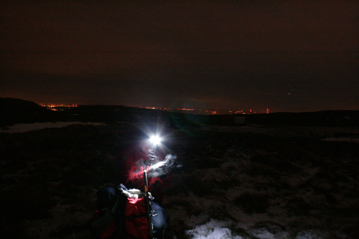
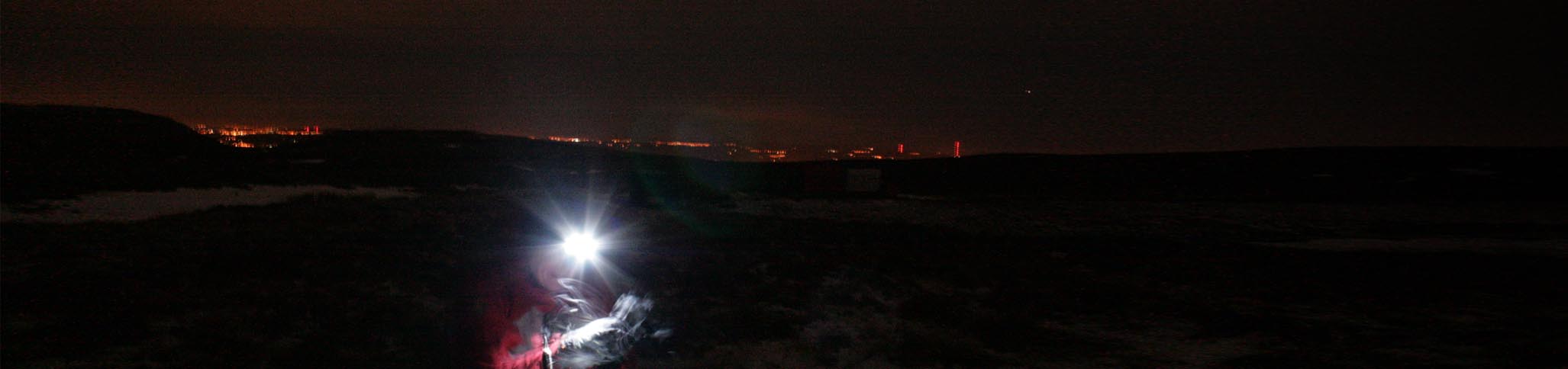
It was cold at the top, mainly due to steady but chilling wind that blew from the north. I took the time to take a panorama, although this involved taking around 15 images, all exposing about 10-15 seconds. Fingers lost feeling quickly, so it was with some relief that we finally left the summit and got out of the wind.
Our route back simply followed our route of ascent. It dragged on because the desire to get back was great. So long had my day been, I was ready for bed. It was with great relief that we finally got down and Ian drove me home. But all in all it had been completely worth it and it was nice to do a local hill in the snow, going by a new route, lit by city lights and moonlight.
360° Panorama

Meikle Bin
A good attempt. There are some blurry patches, but this could hardly be helped. I put the camera on the trig point instead of taking the tripod out and fiddling about with the bits in the debilitating cold. For an idea of the dimness at the time, the mountains of the Highlands to the north could not be seen at all, apart from one or two nebulous white shapes in the darkness.
Times (Time relative to 0.00)
(0.00) 12.25am Car at lay-by
(2.15) 2.40am Meikle Bin
(4.00) 4.25am Car at lay-by
(0.00) 12.25am Car at lay-by
(2.15) 2.40am Meikle Bin
(4.00) 4.25am Car at lay-by
Written: 2010-02-03