The Devil's Point - 1004m
Stob Coire an t-Saighdeir - 1213m
Cairn Toul - 1291m
Sgor an Lochain Uaine - 1258m
Monadh Mor - 1113m
Beinn Bhrotain - 1157m
Thursday 22nd July 2010
Stob Coire an t-Saighdeir - 1213m
Cairn Toul - 1291m
Sgor an Lochain Uaine - 1258m
Monadh Mor - 1113m
Beinn Bhrotain - 1157m
Thursday 22nd July 2010
 Weather/Conditions: Cloudy all day, with lighter patches here and there, and some showers on Devil's Point and Beinn Bhrotain. The first four tops were in cloud, then it lifted off the tops and the last two were clear.
Distance/Ascent/Time: 43km / 1550m / 11h 50m
Accompanying: Pete Swales
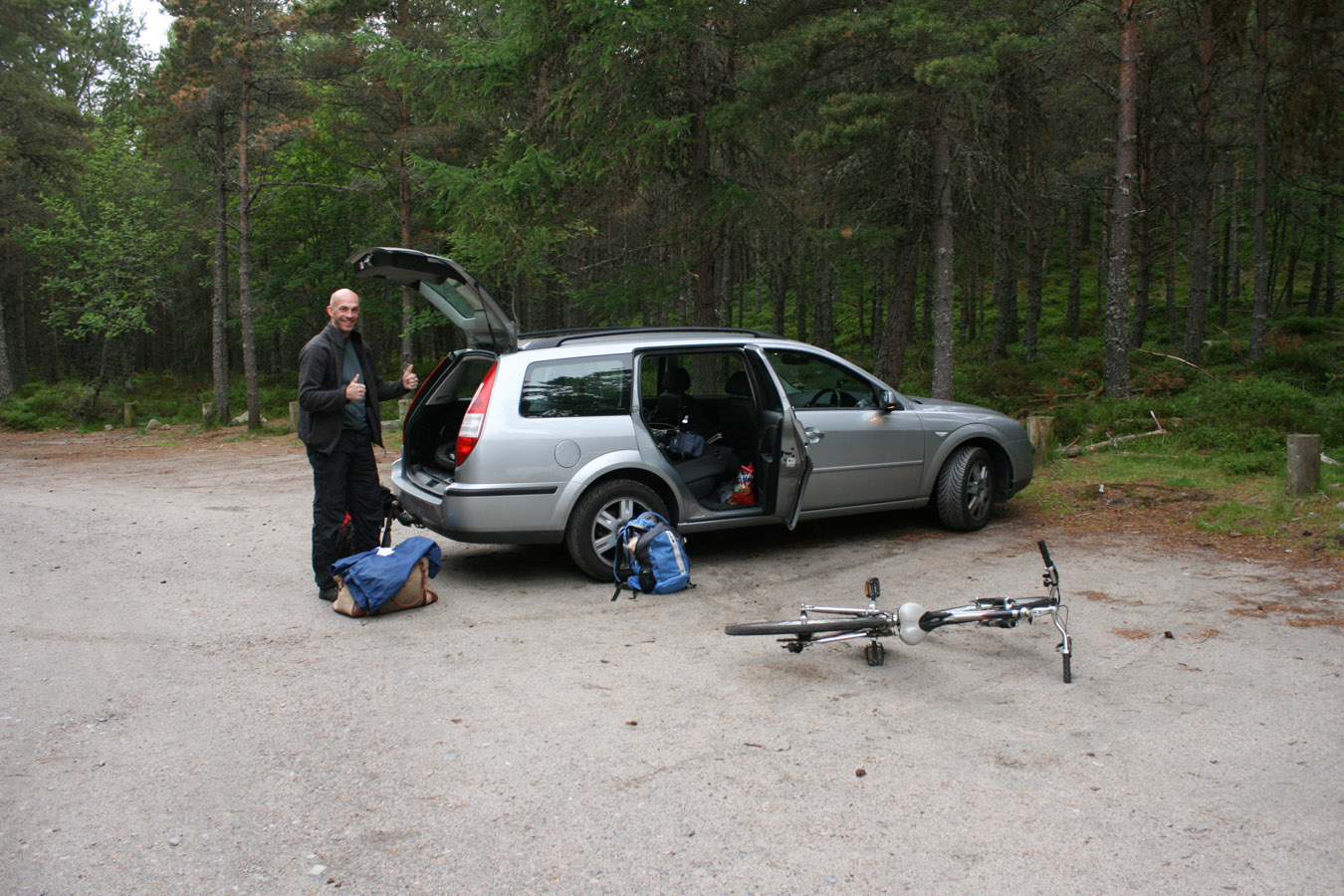
To get to Linn of Dee early morning, I stayed over at Pete's house, although didn't get much sleep before 4am (roughly) departure. We went and bought food for the day then headed to Braemar. Initially the weather didn't look good around Glen Shee (I have my own reasons for having a funny about that place) but things looked more positive at Linn of Dee. We got the bikes out the car, rucksacks on, and got started early and fresh at 7.40am.
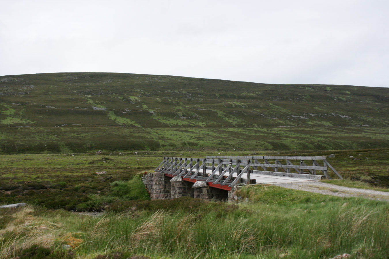
To White Bridge
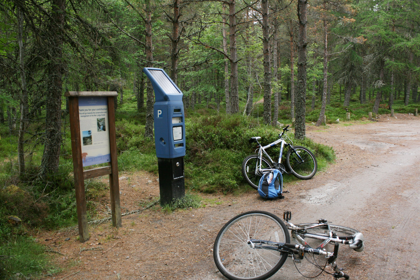
The ride in was a joy and the going was easy to White Bridge, if a little bumpy for my road bike. I'd never done this before so it was all new experience. People recommend to drop the bikes off at White Bridge but we reckoned we could go on. In any case, there didn't look like many places to hide them at the bridge, and there were a fair few people about who might like a new bike.
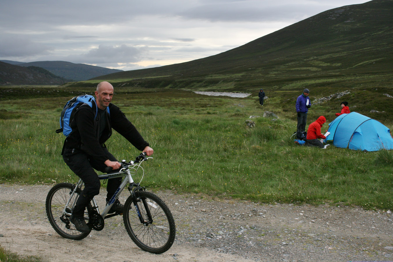

The Devil's Point
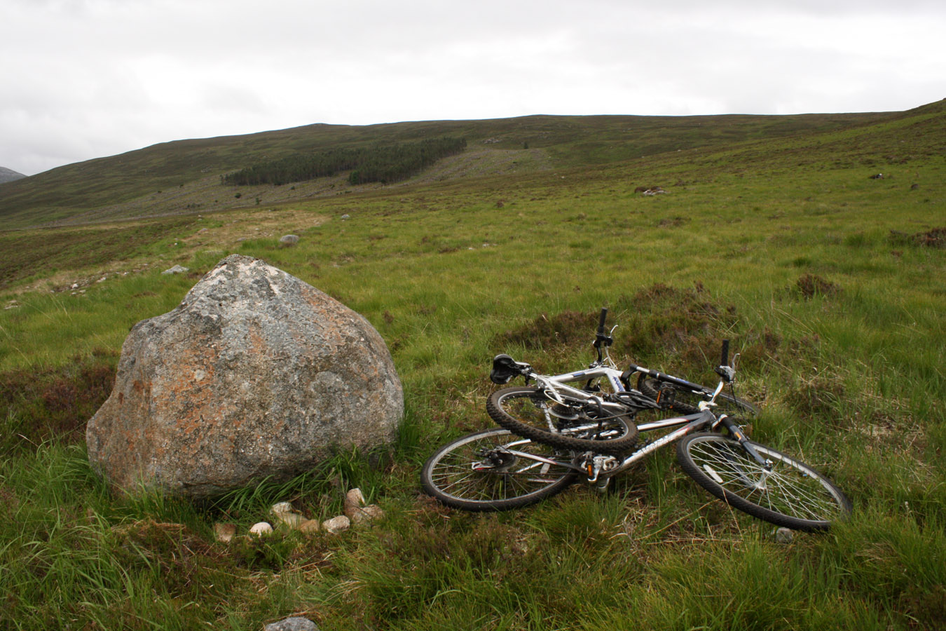
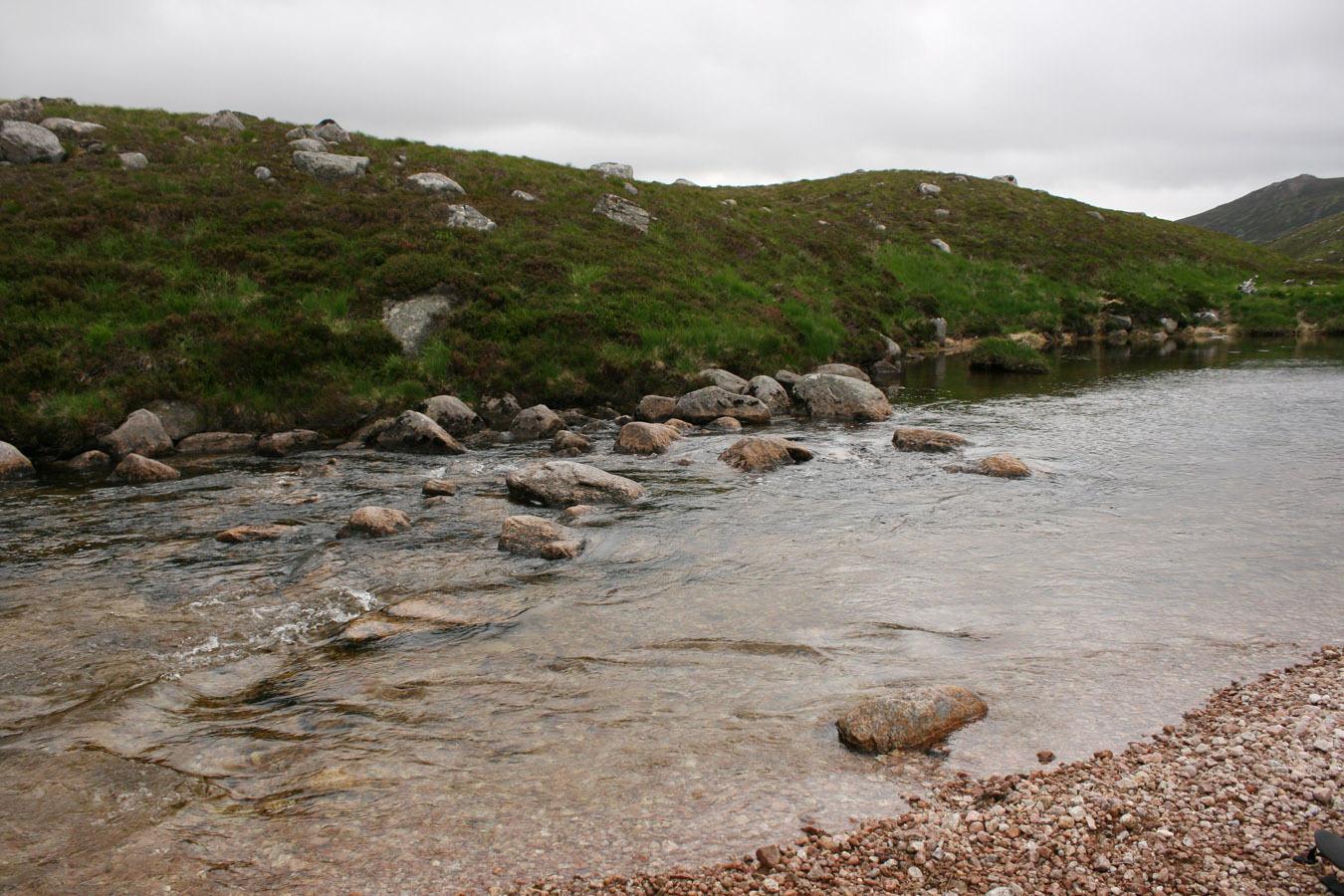
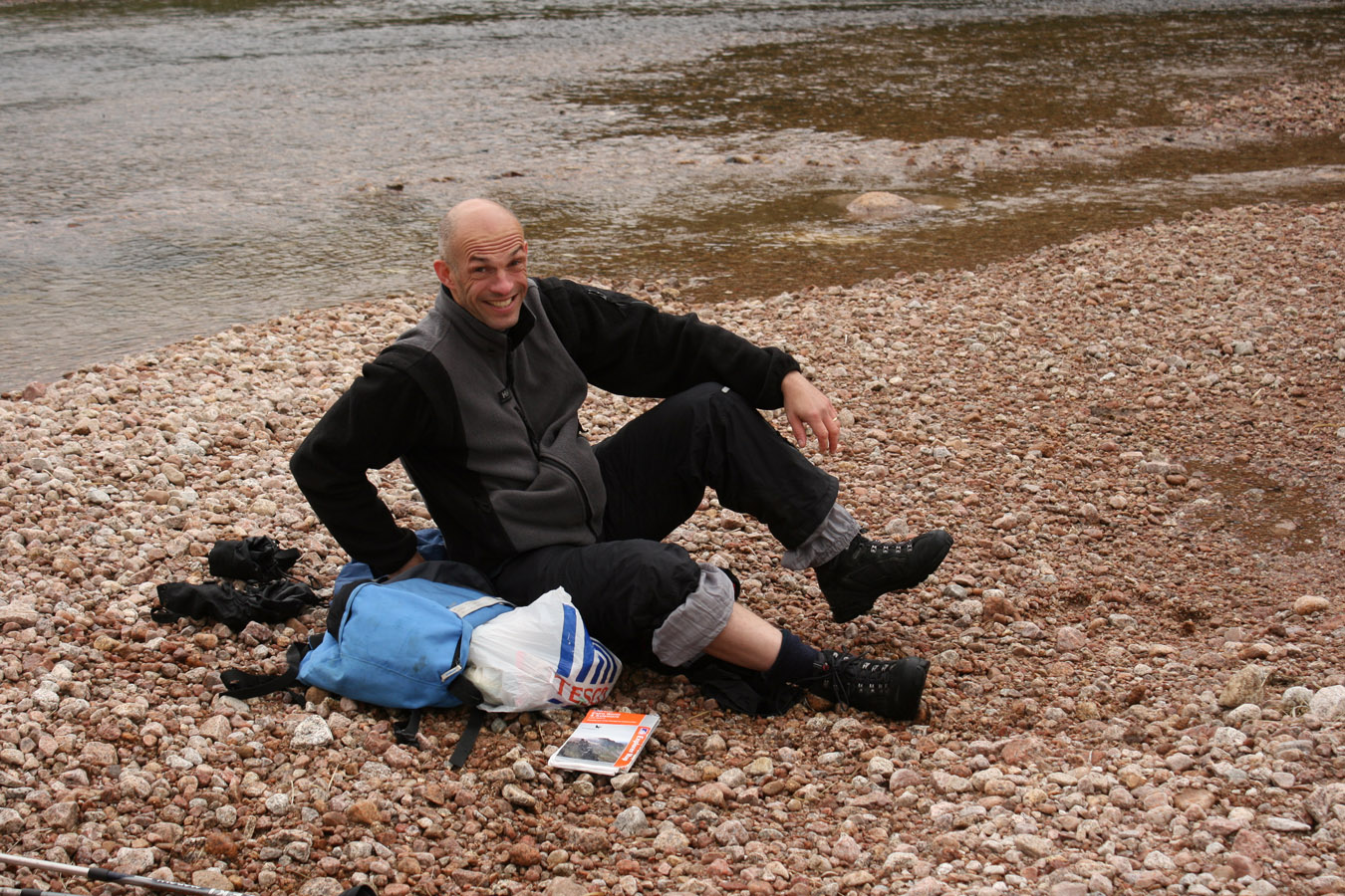
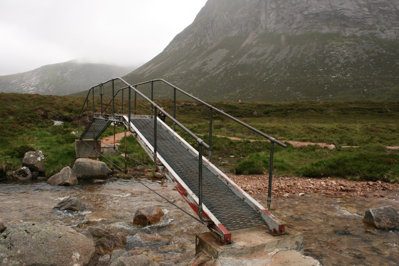
We managed to cycle a further three kilometres until the path was too rough to go any further. The bikes went behind a boulder, and we started to walk. Not bad, considering we'd already done 8.5kms. The Devil's Point was coming into view ahead and to get to it, we needed to get to Corrour bothy first, at it's foot. And to do that, we needed to get across the River Dee! We walked on trackless ground upstream until we found a fairly acceptable place to cross. By that, I took one boot off and hopped in and back out of the water again. It was damn cold but I dried my foot off and sat on the gravel bank while Pete managed to throw his boots into the water. I was their target, but they hit the water and bobbed off downstream instead. I just managed to catch them.
Wet feet asides, we got across without incident. Some more trackless ground took us onto the path leading to Corrour and we could follow it all the way. Some rain passed through but it didn't amount to anything.

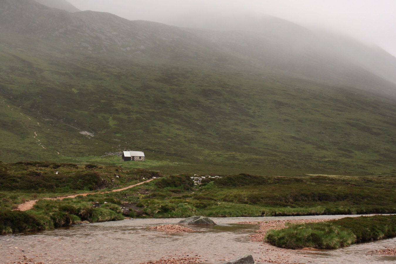
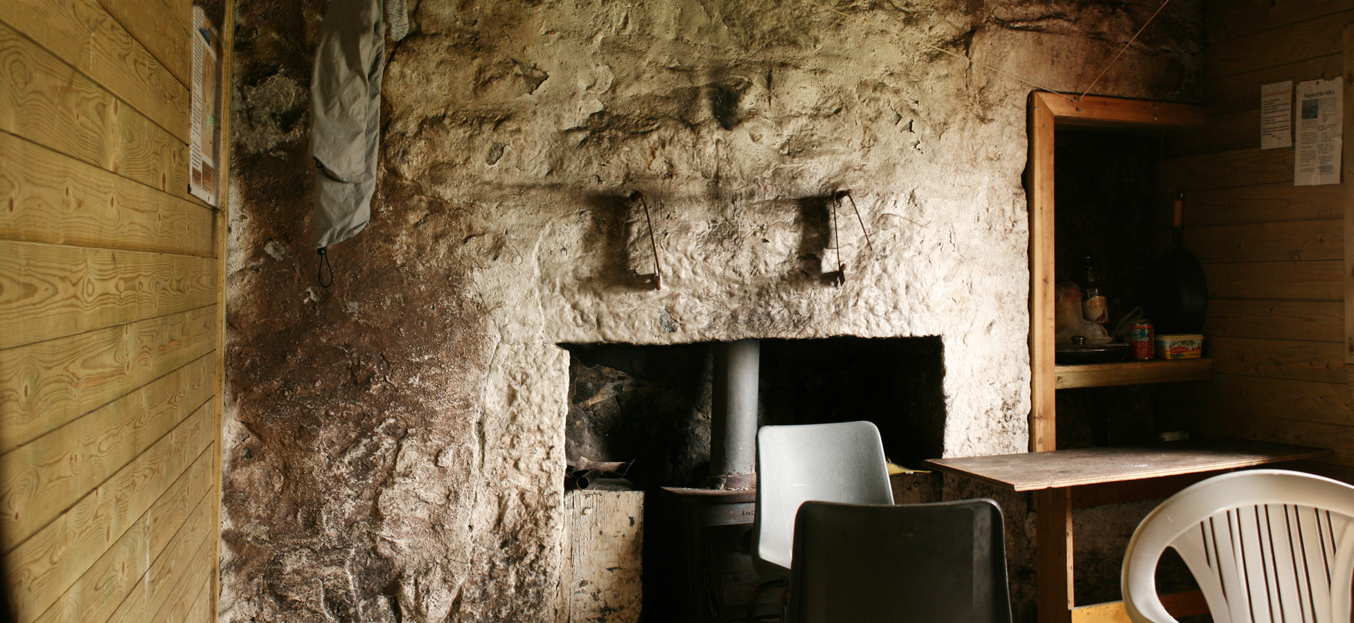
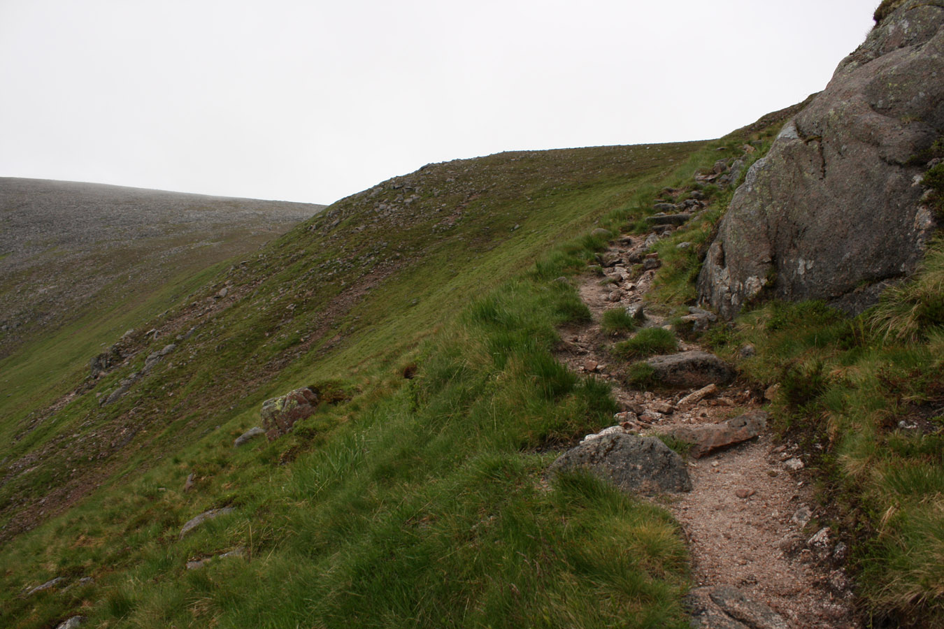
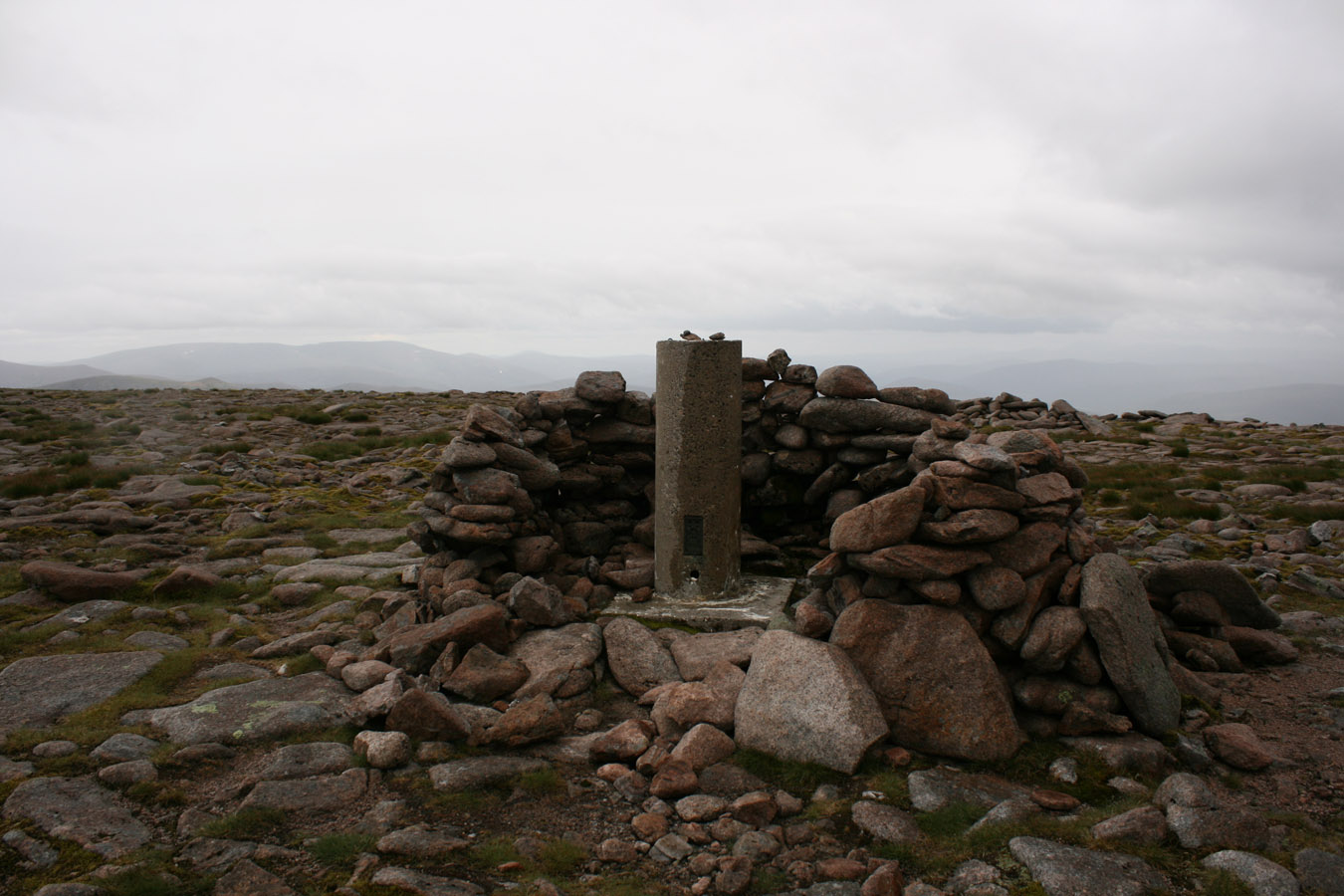
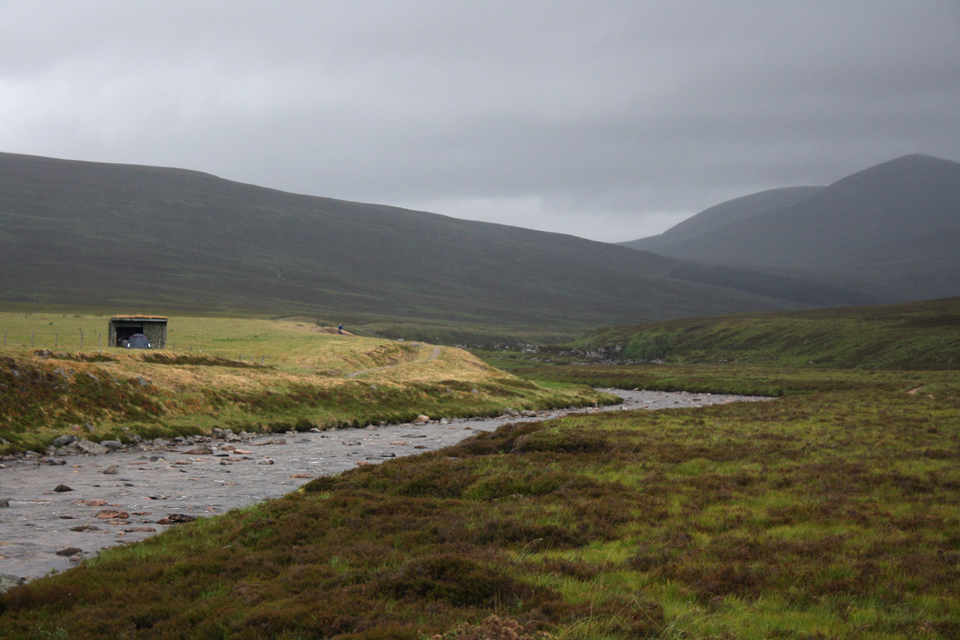
And when we arrived at Corrour, I realised that it really was small, just like everyone said... Four people would create a crowd with sleeping bags and stoves, so best to stay when it's quiet. We dropped in for ten minutes but got on our way up a well constructed path to the Devil's Point. This was a simple slog, then once on the ridge, a quick jaunt to the top, so really quite easy if you forget about the long walk in. We spent ten minutes on top and chatted to a French (I think?) guy who was studying photography in Scotland. He was staying a few nights at Corrour and was up with a camera and tripod.
Cairn Toul and Sgor an Lochain Uaine
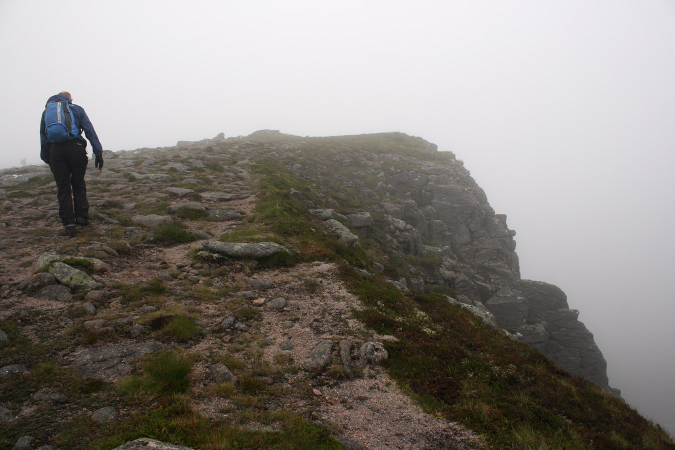
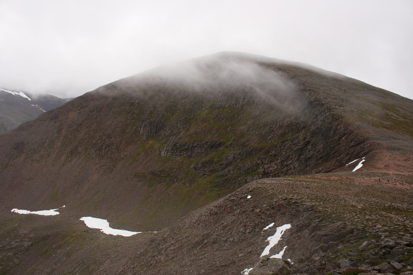
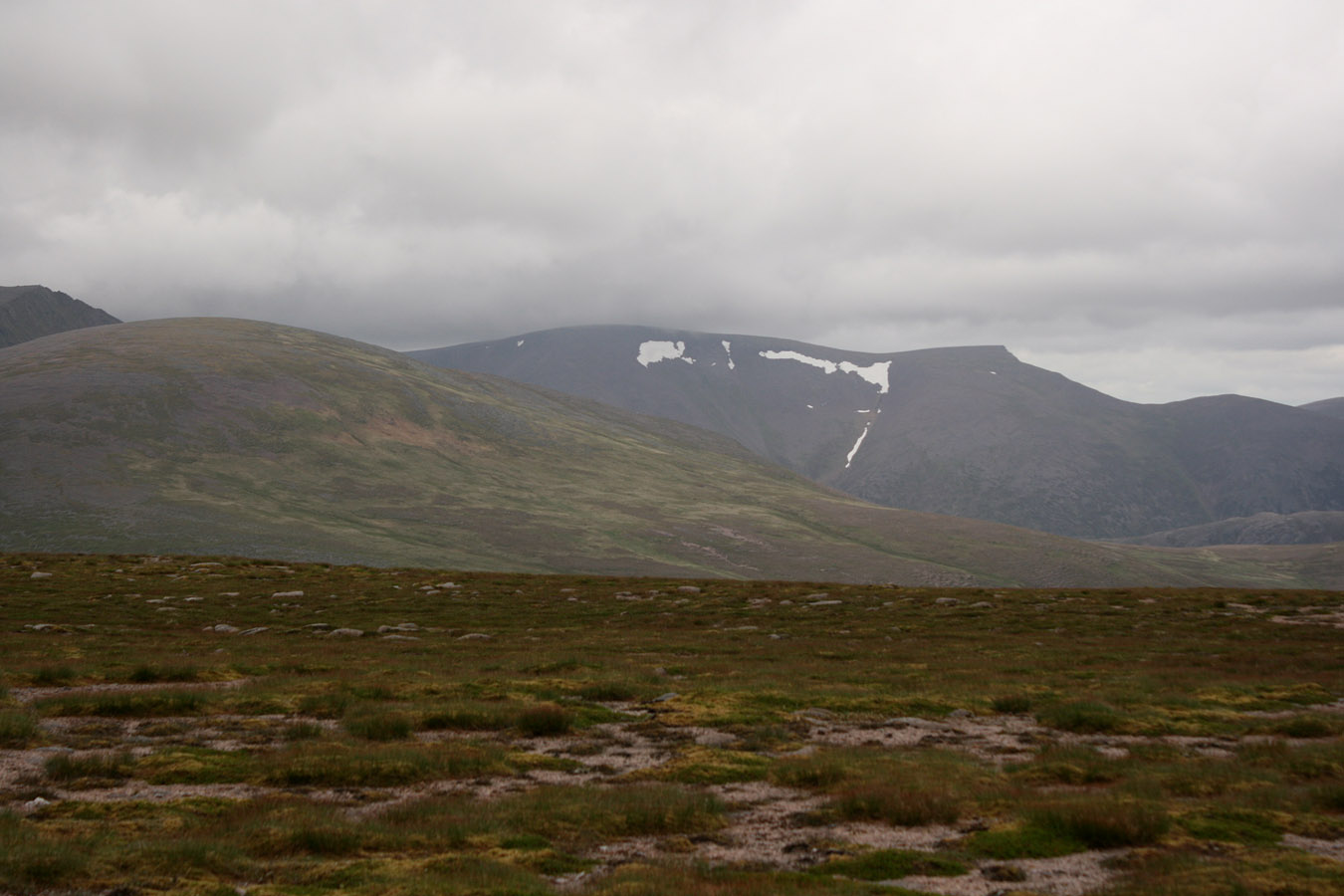
Cairn Toul is much higher than The Devil's Point, so demands a thigh-busting ascent of over 400m. the Munro Top Stob Coire an t-Saighdeir comes first however and it occupies 300 of those vertical metres. We took this section at an easy pace so it flew by without issue. And now we were walking in the cloud, so we were met with a cairn in the mist, then a short descent and reascent to Cairn Toul. Another cairn in the mist.
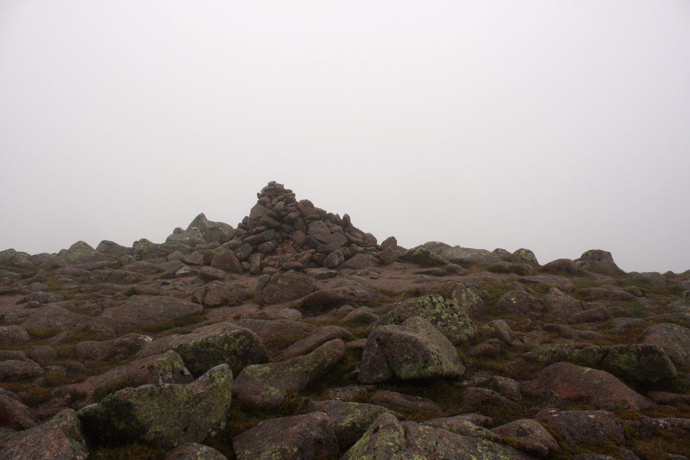
I tried to comprehend that this was the highest I'd been since Ben Nevis nearly three years ago, but I found it difficult to feel that - I didn't feel 1258 metres in the air. The clag had something to do with it.
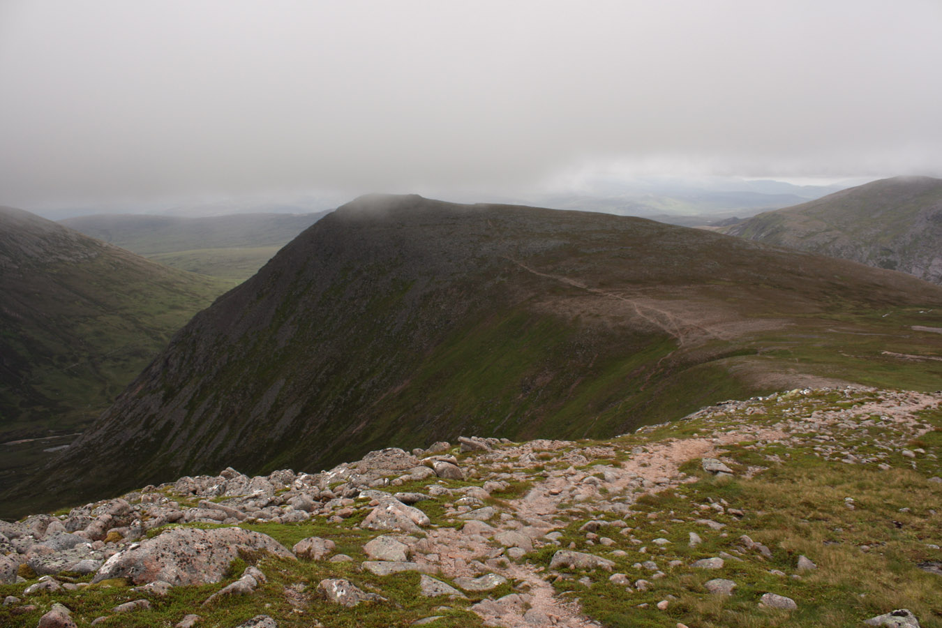


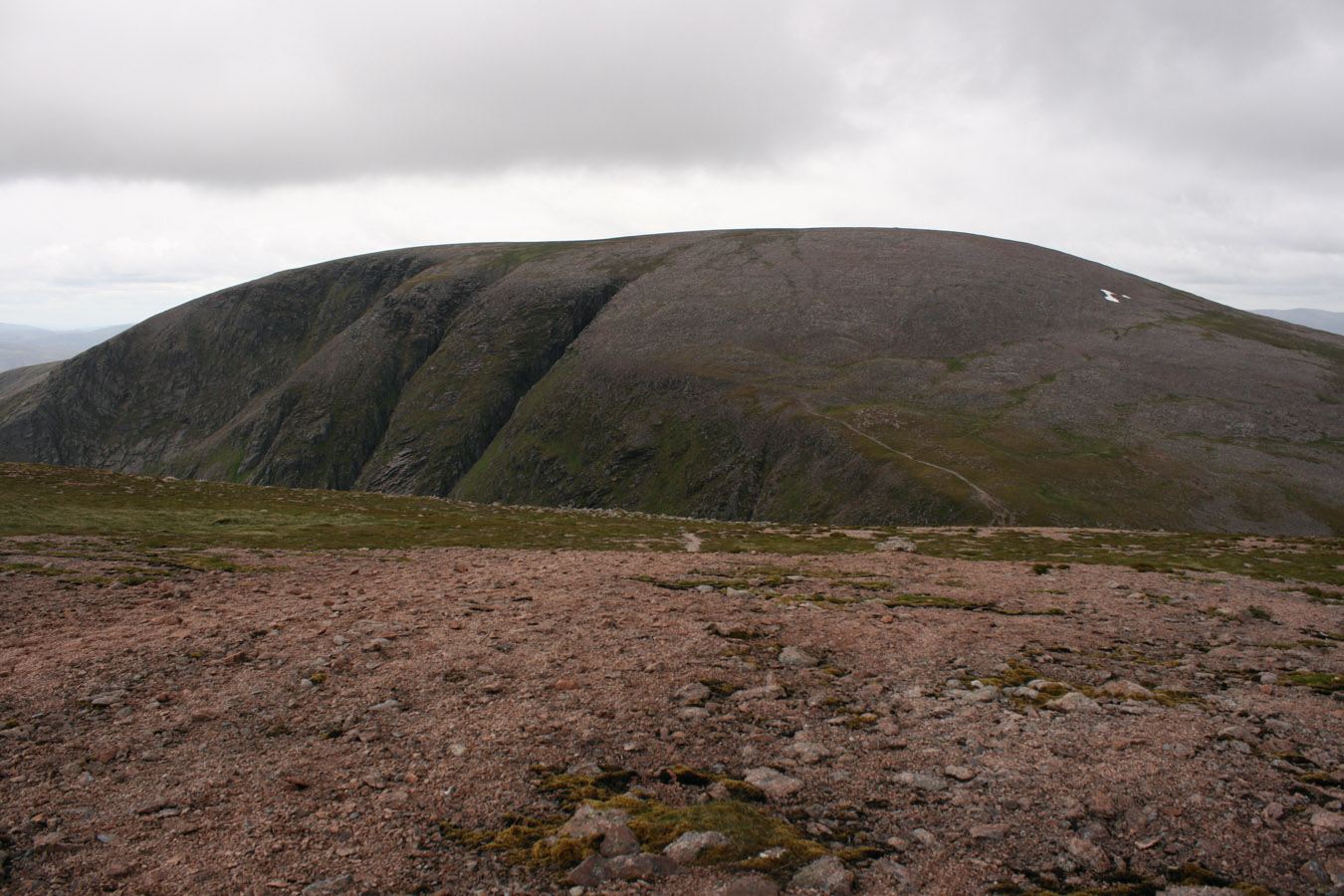
We took a few moments on Cairn Toul then got on our way, although the descent required some navigation and faith in the compass. You don't continue north to reach Sgor an Lochain Uaine, you must walk about west first, then curve around to the northwest. Then came one of those moments when the cloud cleared at once, and we could see the ridge all laid right in front of us. Easy!
We got a view of Lochain Uaine ('green lake') itself too, although I didn't see any greenery in it today... A short ascent brought us onto Sgor an Lochain Uaine - very easy but definitely a beautiful mountain. It's easy to see why it could be a Munro Top as it formally was, although I never consider it as such.

Monadh Mor
So with the three Munros completed, we'd finished our original objective and the goal now was to get back to the bikes and subsequently Linn of Dee. Pete suggested we go over Monadh Mor and Beinn Bhrotain to do so. It would be better than backtracking over old ground, and at the end of the day it was two more Munros, plus the aesthetic aspect of a roundtrip.
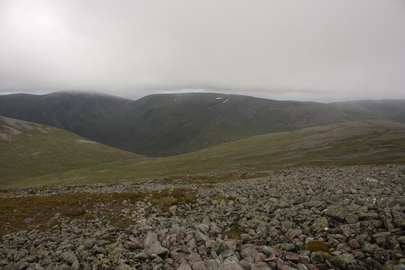

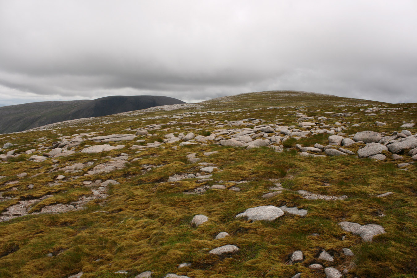
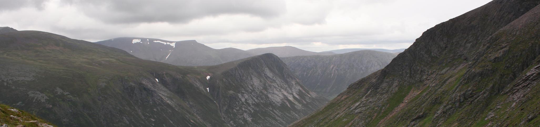
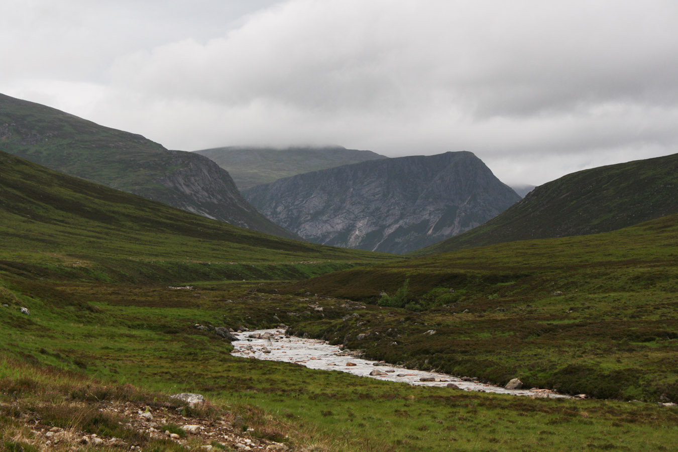
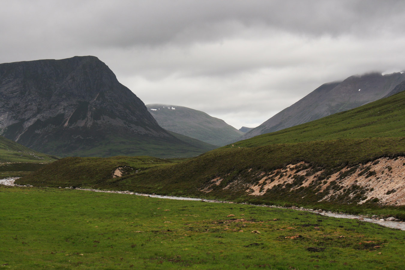
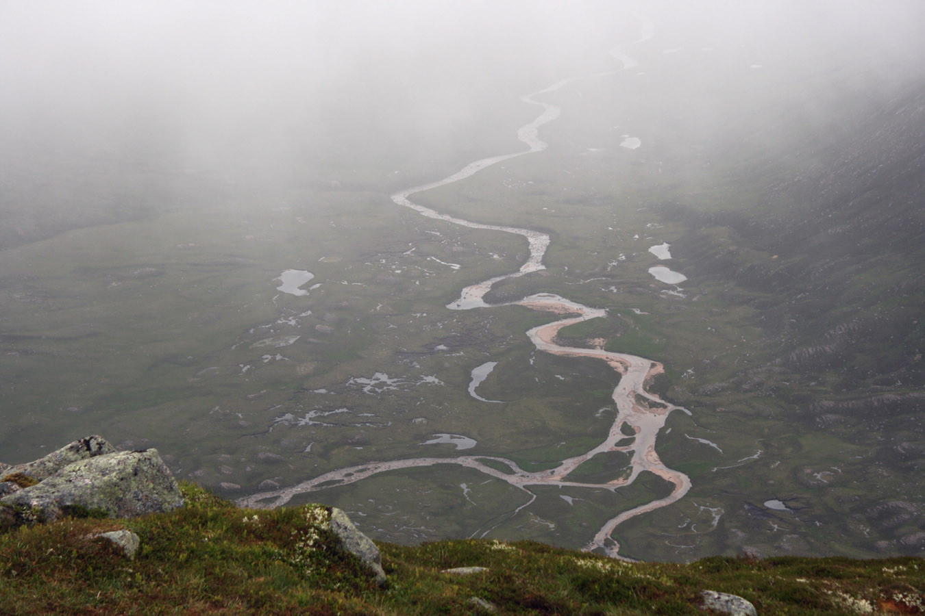
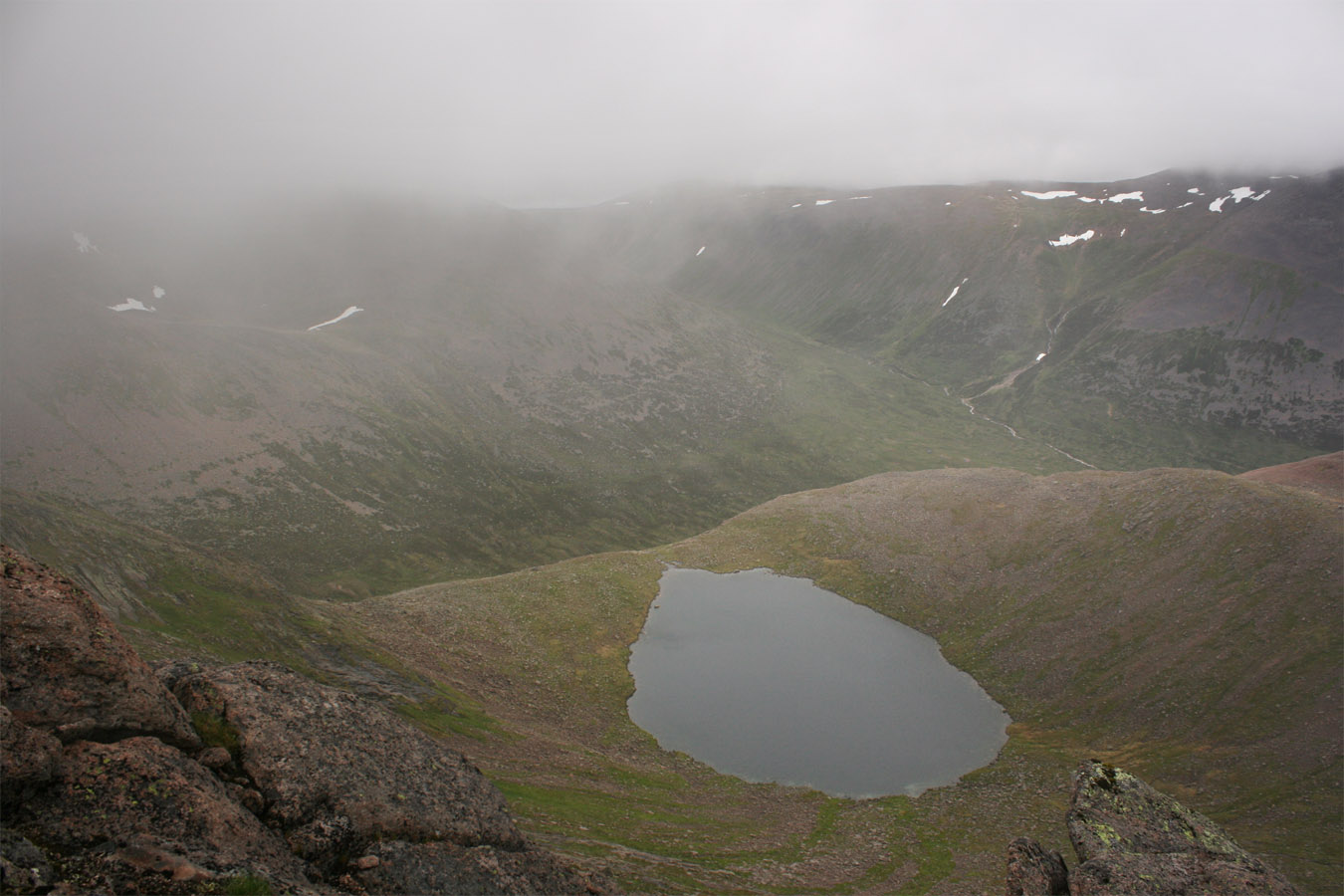
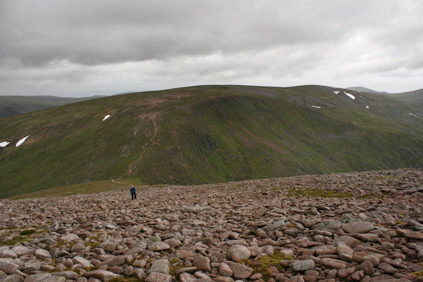
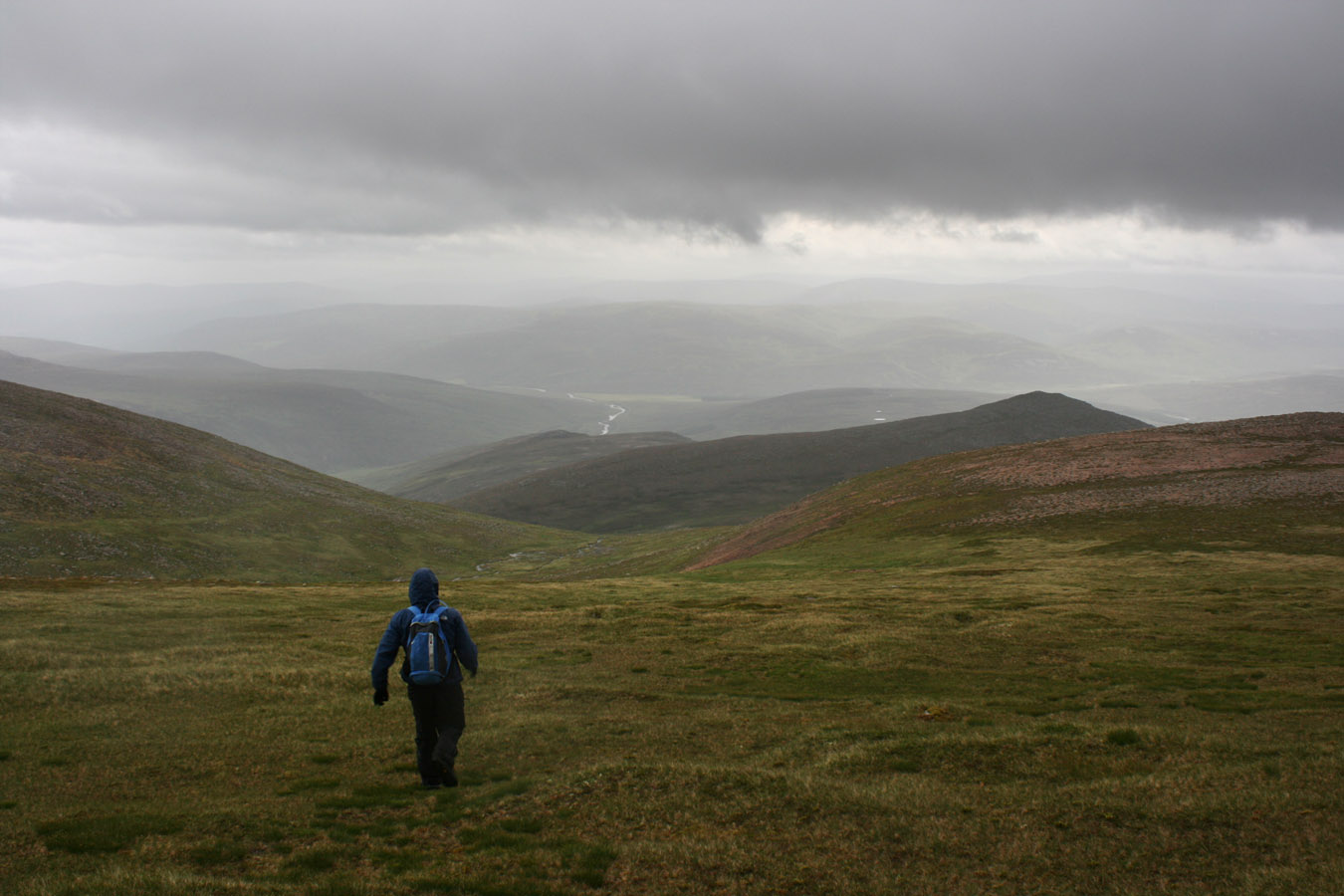
So we headed south from Sgor an Lochain Uaine and on grasses/heather and boulders towards Monadh Mor. It was a fair distance and large drop too. The lowest point was around 900m, and of course we were so high that this was quite a substantial drop. However we took our time, enjoyed the improved weather and noticed as the cloud lifted off all the Cairngorm peaks. I noticed the way this looked just like the back end of the Campsie plateau - there was no groove of the Lairig Ghru, nor a Loch Avon basin here, just the rolling lumps and expanse of the Moine Mhor. The great Moine Mhor looked desolate, and I kept an eye out for the lonely Tom Dubh too, but it was very much like my local Campsies. What is fun however, is to ponder how high the whole region really is, with these peaks among the highest in the British Isles. Monadh Mor and Beinn Bhrotain aren't among the absolute largest, but they are sure giants indeed, bulky and without the sexy looks of the Lairig Ghru peaks.
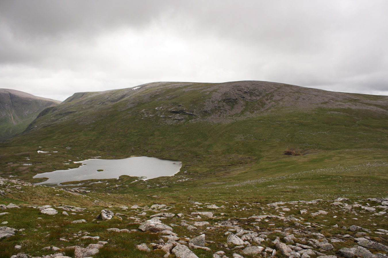
And there's another thing about Monadh Mor - it had two summits, of which the north top is listed as three metres higher than the south top (1113m against 1110m). I firmly believe however that the south top is a couple/several metres higher. The implication is one of relocating the summit nearly a kilometre to a dome of shale and grass that doesn't even have a cairn built on the top. For completeness we visited both tops, although I'm certain the ('lower') south top is higher.
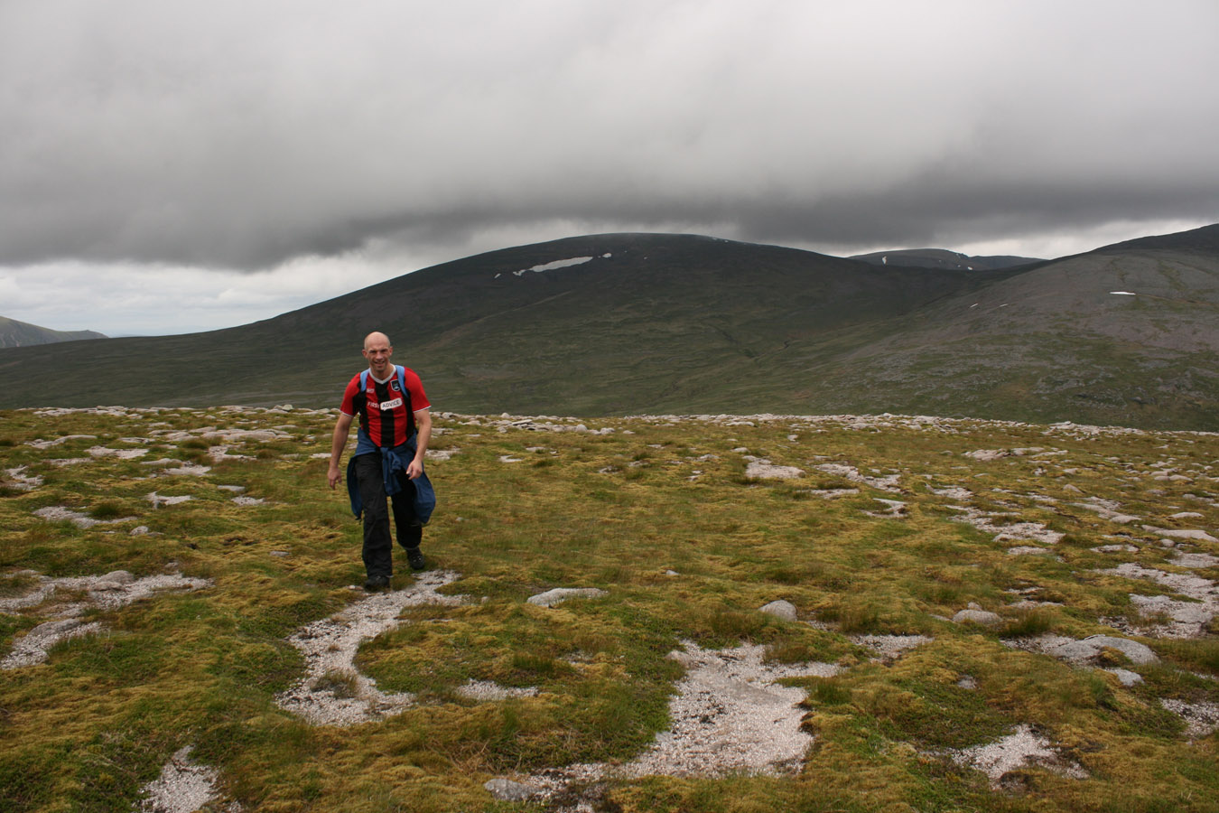
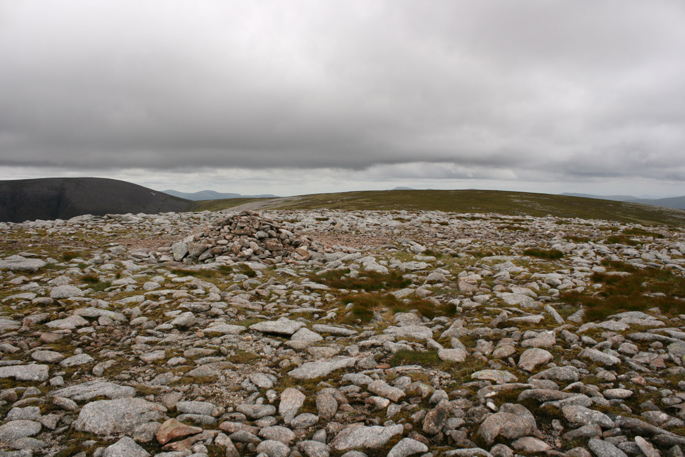
Beinn Bhrotain
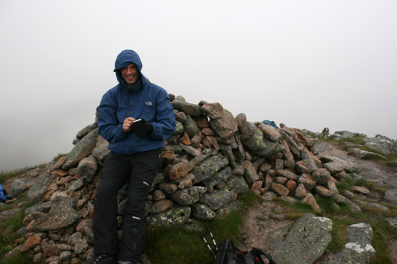
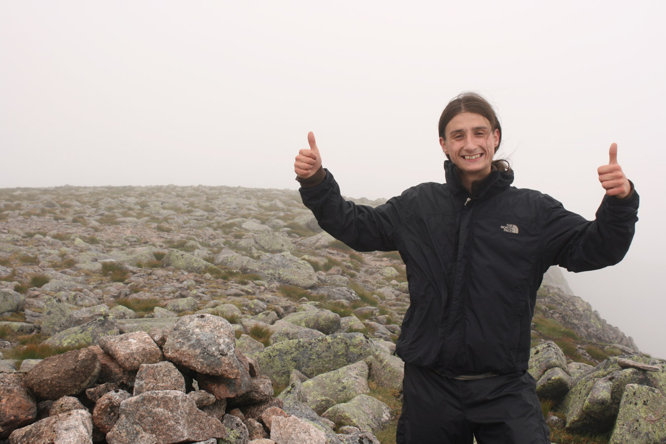
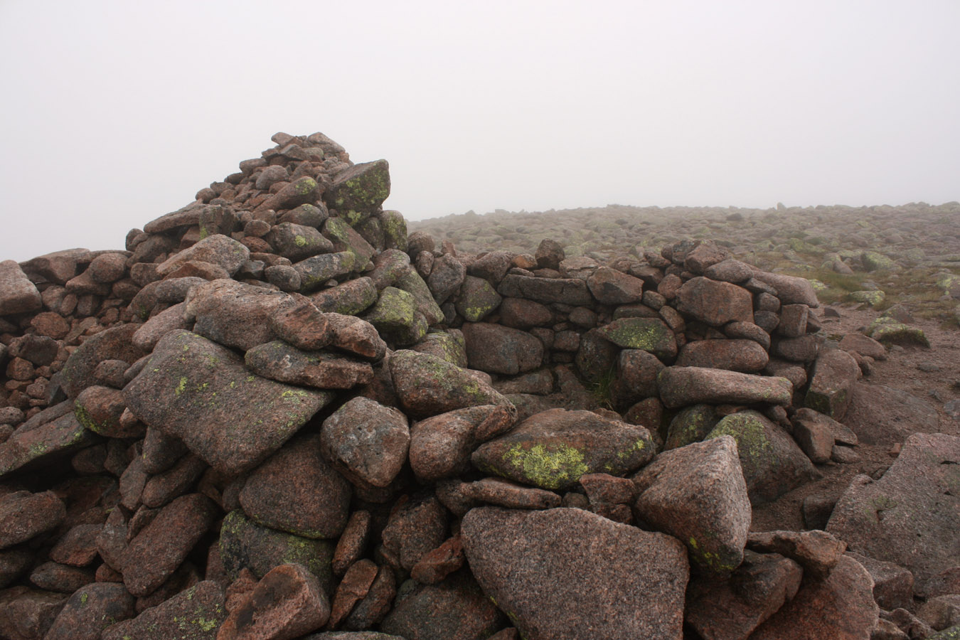
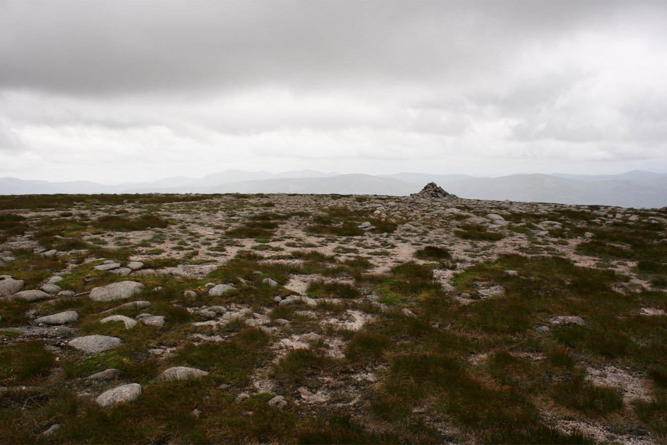
This last Munro was perhaps the most difficult in that I was running out of stream and Pete was walking on an injured leg. However the ascent was not problematic since the cloud was off the summit and a path ran all the way to the top. It seemed like another enormous lump of rock, path to the top, cairn easily found. Another Munro, I guess.

Descent
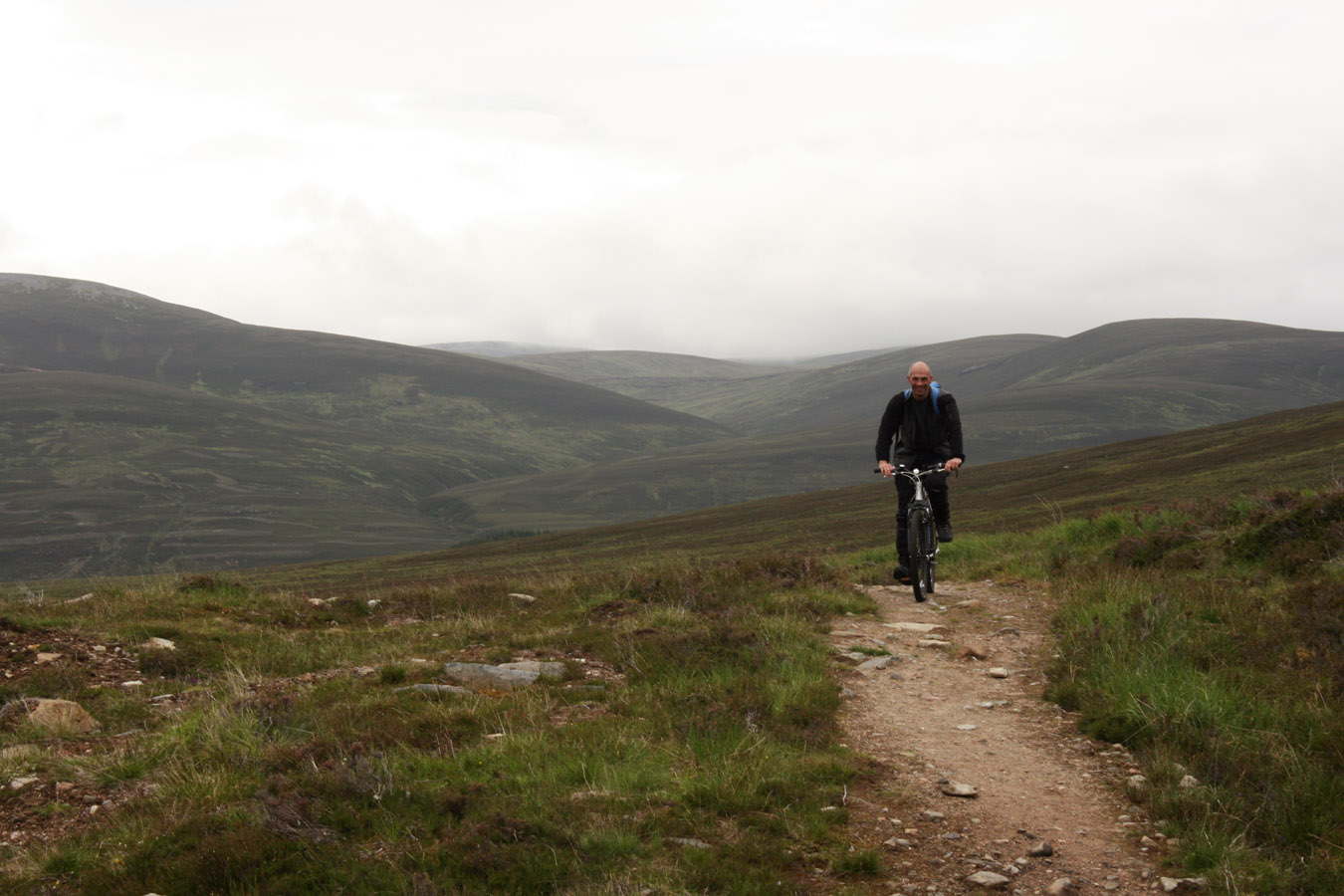
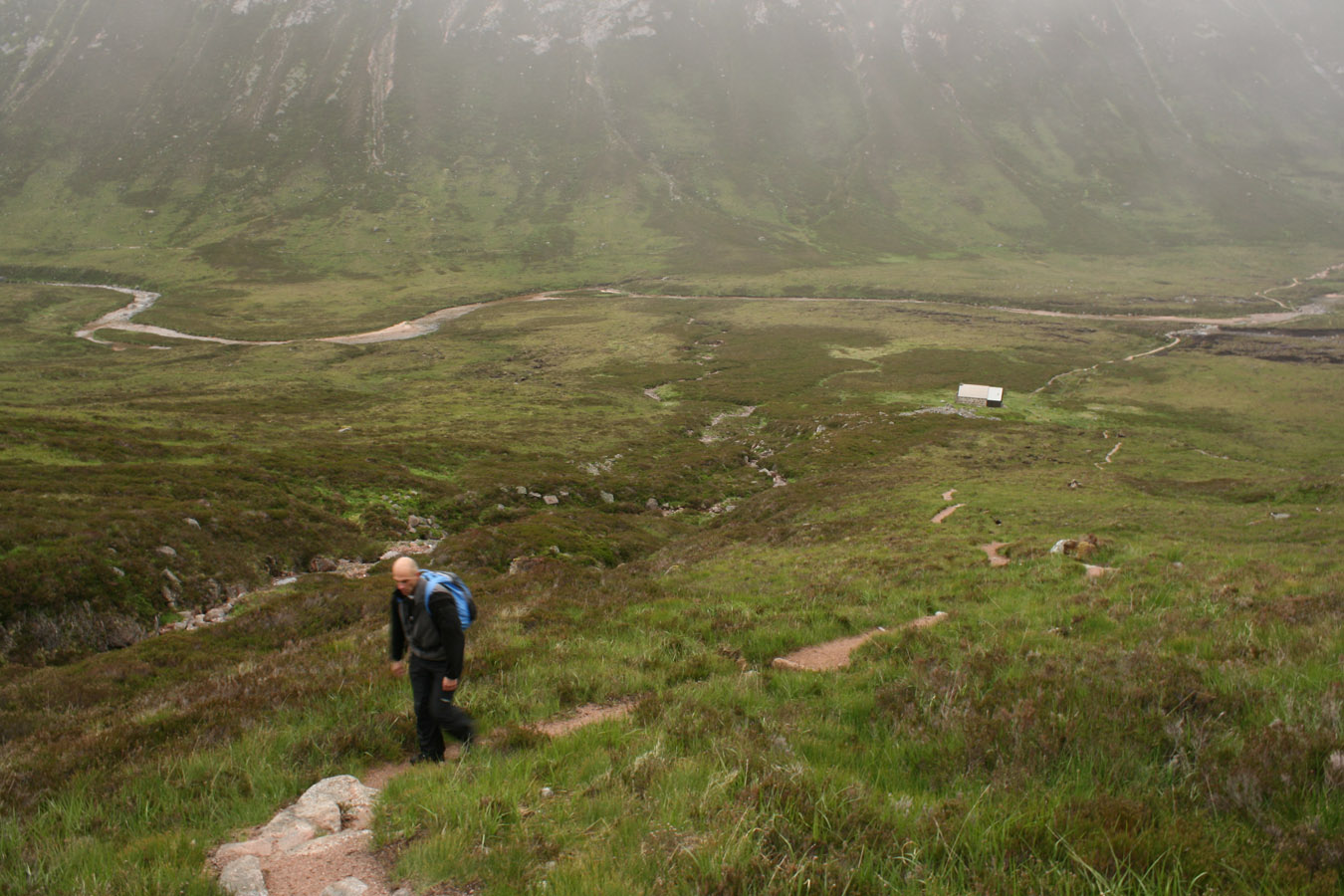
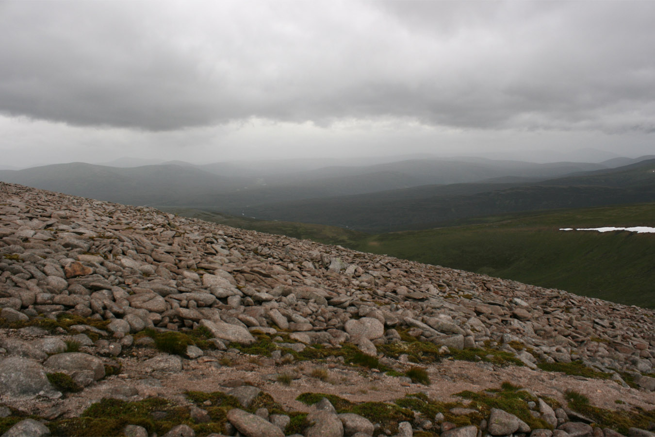
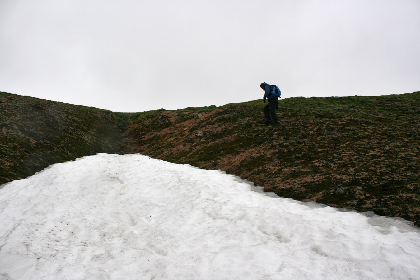
And then with legs getting sore and weather deteriorating once more, we escaped off the south eastern slopes into Coire an t-Sneachda (valley of the snows) - relevant, since we found a snow patch here. Carn Cloich-mhuilinn was nearby although we missed it out (a previous Munro, now just a Top and rightly so. It's historic for being the Munro that Hugh Munro intended to finish on but never did. Anyway, less of all the history that the SMC seem eternally keen to tell us all)
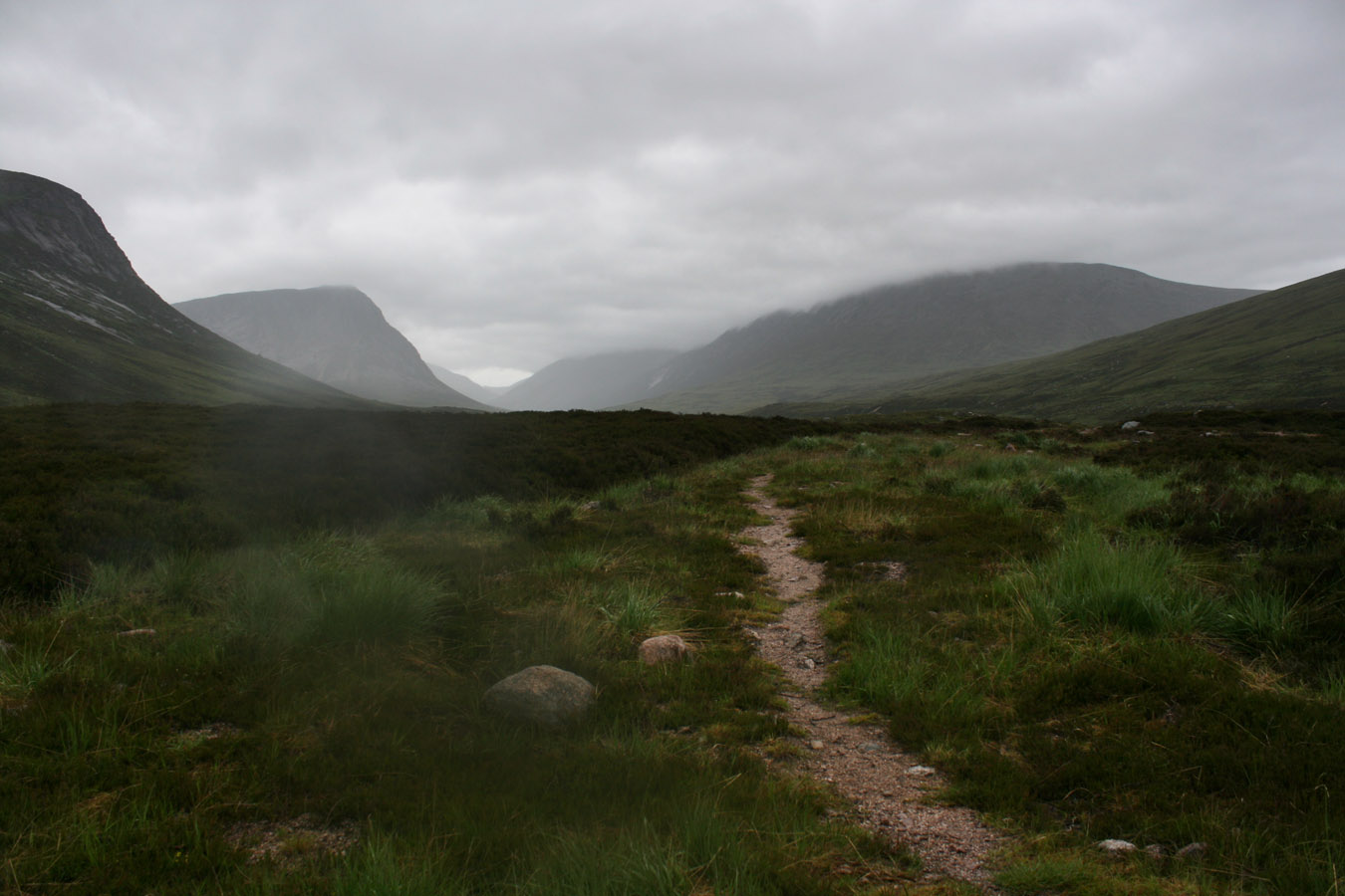
We dropped down alongside the Allt Garbh and with legs beginning to really hurt, we picked up the track and headed towards the bikes. I might have had a real problem if I'd tried to do the final 9kms on foot, however the bike was a lifesaver. We hopped on and rode the downwards incline to White Bridge. I stopped for a couple of minutes here then headed off again feeling new energy in my legs. It was a quick way to return and infinitely preferable to walking - we certainly couldn't have done this route without them. And more over, upon arrival back at Linn of Dee, we managed a 43km route in under twelve hours which without a bike is seldom heard of in the hillwalking world.
Later that evening Pete dropped me off at Edinburgh Waverley train station and I took the train back through to Glasgow. Superb.

Final thoughts on this route are one of joy of finally being able to romp across the high Cairngorms. I found Bynack More and Cairngorm pretty tough a couple of years ago, and in March 2010, I got my ass kicked by the long walk in, trying to get to Ben Avon on soft, deep spring snowfields. So to finally be up high and to pick off five unclimbed Munros relatively easily was a revelation of some sort - I was finally in the heart of these peaks, watching the miles go by and feeling quite okay with it.
They were different than I imagined them to be, but that's usual for July - green and wet. I didn't get my mind blown by the Lairig Ghru the way Loch A'an did in October 2008, yet I barely saw it with cloud. And the Moine Mhor wasn't as wild as I'd have thought it. Still, they're by no means boring, they simply require bit more grit to get right into their heart. It's well worth it.
360° Panorama

Monadh Mor
Times (Time relative to 0.00)
(0.00) 7.40am Linn of Dee
(0.25) 8.05am White Bridge
(1.15) 8.55am Bike dump
(3.30) 11.10am Corrour bothy
(4.45) 12.25pm The Devil's Point
(5.55) 1.35pm Stob Coire an t-Saighdeir
(6.20) 2.00pm Cairn Toul
(7.00) 2.40pm Sgor an Lochain Uaine
(8.35) 4.15pm Monadh Mor
(9.25) 5.05pm Beinn Bhrotain
(11.05) 6.45pm Bike pick up
(11.30) 7.10pm White Bridge
(11.50) 7.30pm Linn of Dee
Written: 2010-08-23