Sight Hill - 179m
Castle Cree - 59m
Quien Hill - 109m
Hill of Ascog - 104
Thursday 7th July 2011
Castle Cree - 59m
Quien Hill - 109m
Hill of Ascog - 104
Thursday 7th July 2011
 Weather/Conditions: Good weather all day, the sun was always out and it was always fairly cool. I won't forget the frustrating winds as I cycled from Rhubodach to Rothesay - straight into a southerly coastal wind.
Distance/Ascent/Time: 29.2km / 460m / 4h 35m
Accompanying: Alone for three Tops, with dad joining for Castle Cree
Sight Hill
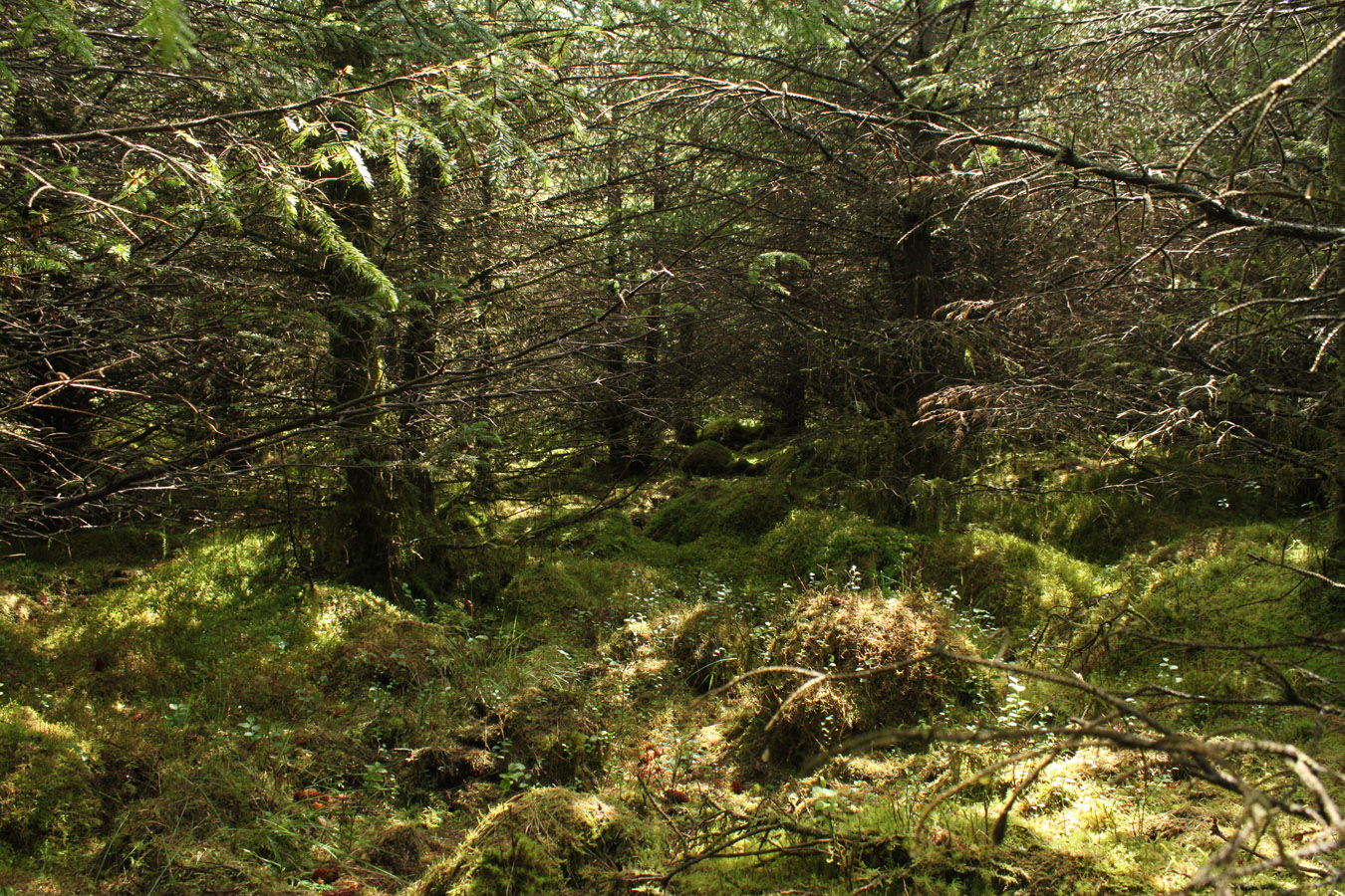
Sight Hill was by far the longest trip that I still had to do. I'd turned back from it the day before on a long trip that eventually got me seven other Tops. It's forest had been impenetrable in my strung out state and I decided I'd tackle it today instead. I did it in the most enjoyable way you could climb the (probably) worst hill on Bute. I say so purely because it drowns among the commercial forestry as does so much of the lands of Cowal, Knapdale and Kintyre. There can't have been many people that go to Sight Hill, because I can't imagine a reason for doing so asides to tick the hill - and who would do so unless they found a list of 30m Tops?
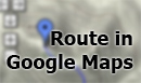
It is the only Bute Top lost to the trees, thankfully. I was dropped off in Rhubodach at the top of the island, a place I was more than happy to see. In my younger years, we always went on holiday to the Mason's of Shalunt, and this corner in Bute has a particularly special place for my memories. The weather was sunny and I watched the ferry across the water going about it's business.
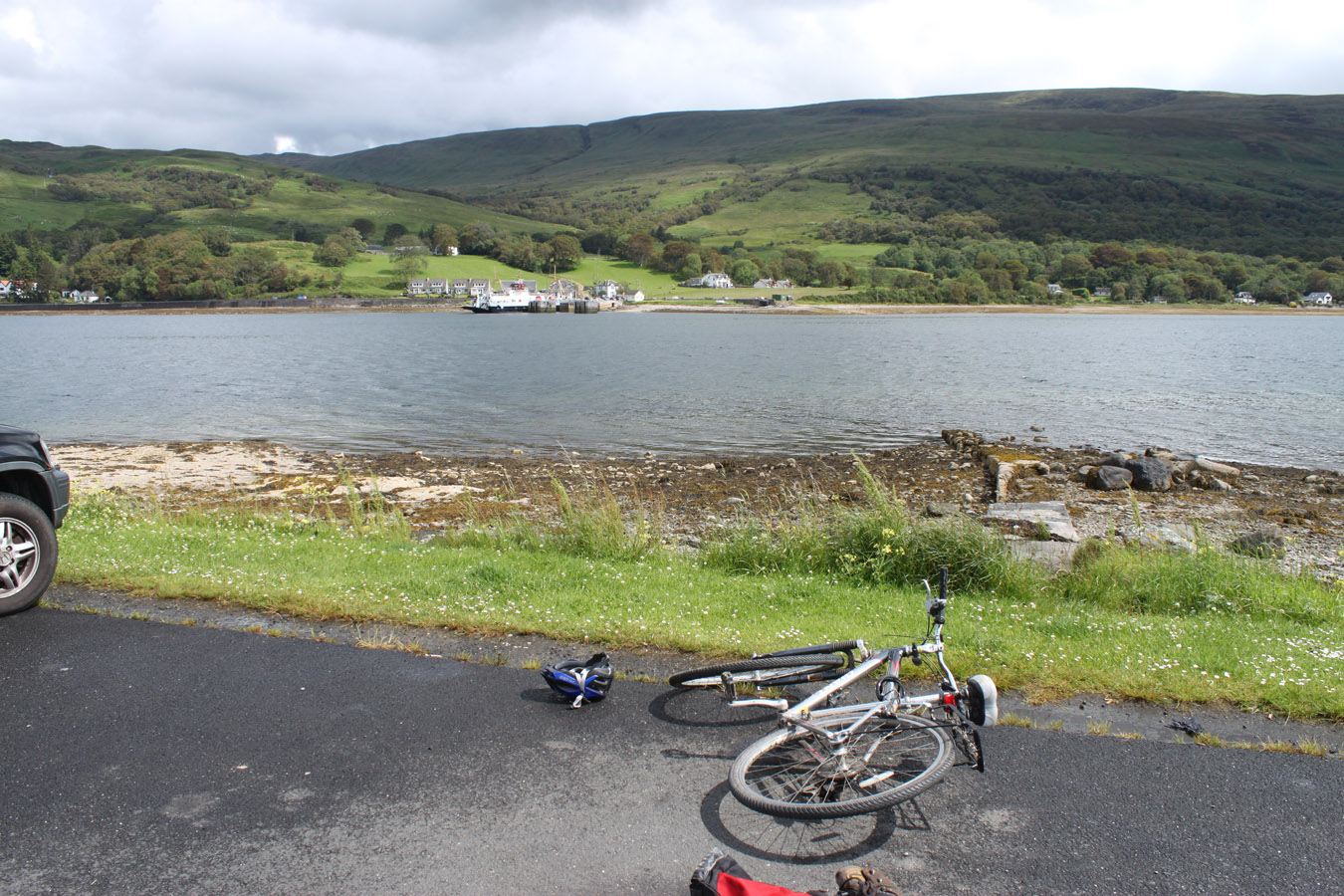
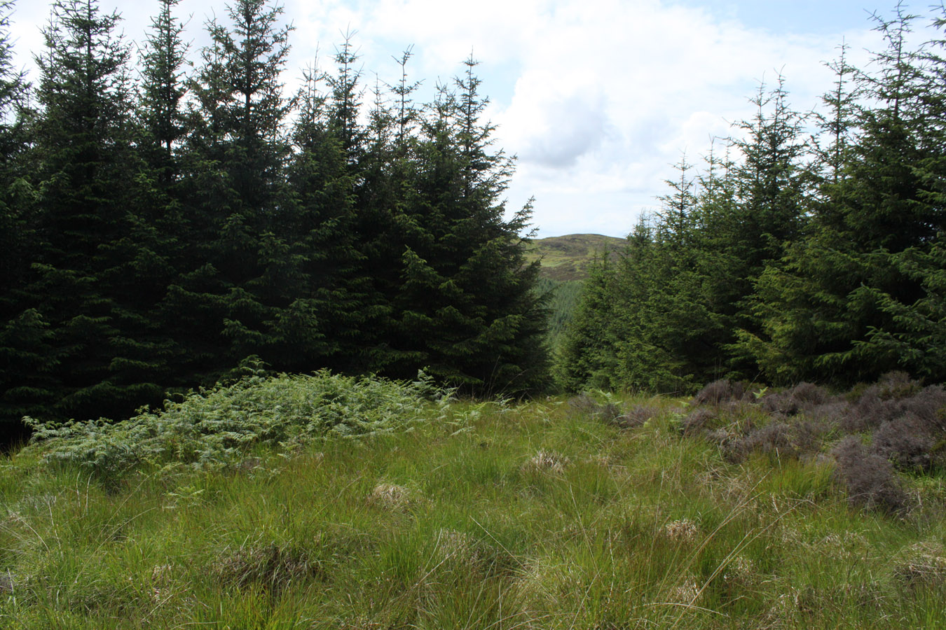
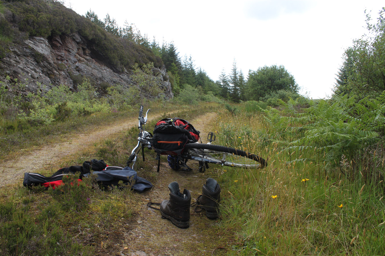
I pedalled down to the house Rhubodach and turned up the West Island Way, following this track into the forest. There were no particularly interesting views here, I simply pedalled uphill in the warm sun, panting away, passing a group of walkers and looking forward now to getting to the top of the track. I cycled as high as 150m and left the bike directly below Sight Hill.
This hill required the most accurate navigation of any Top on Bute. Thick forestry is essentially like walking through dense mist, so I took the map and compass out to get an accurate idea of where I was. Muclich Hill and Black Hill were in sight and I used them and the contours to judge my position accurately. With that done, I took a bearing to the top of my hill. With a fleece on, map and compass and camera in hand I set off into the trees for a forest fight.
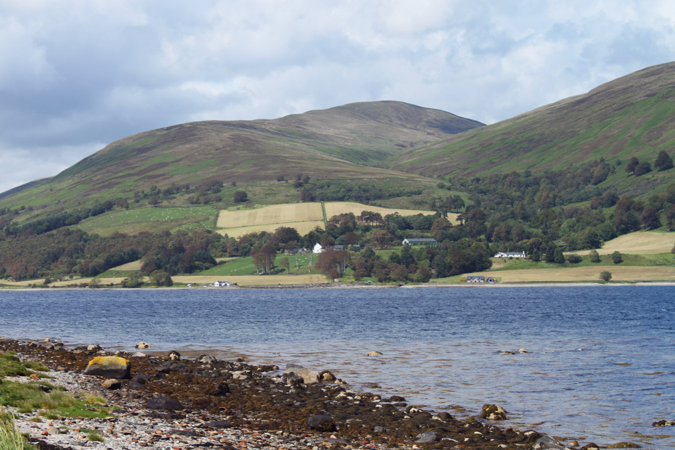
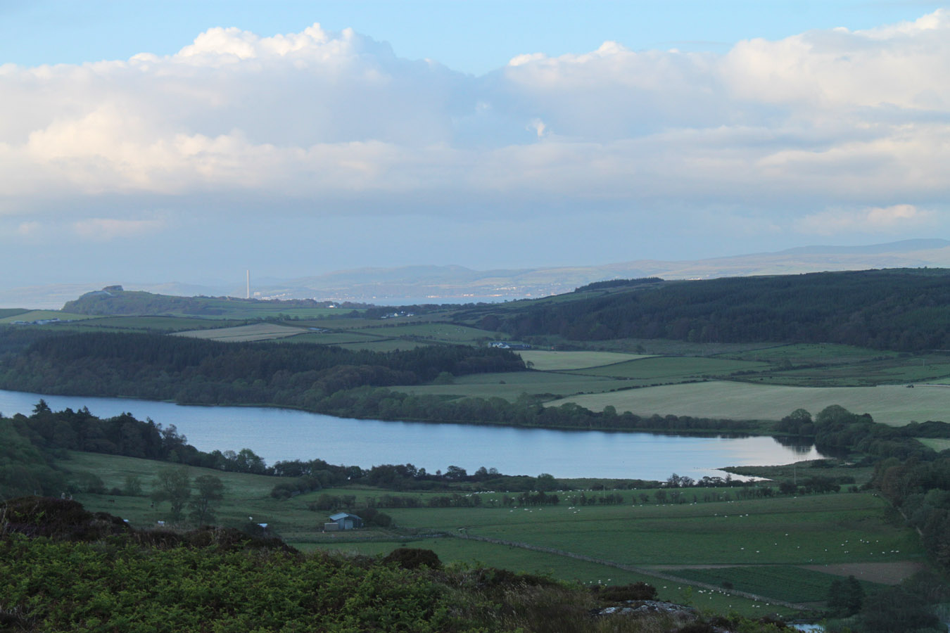
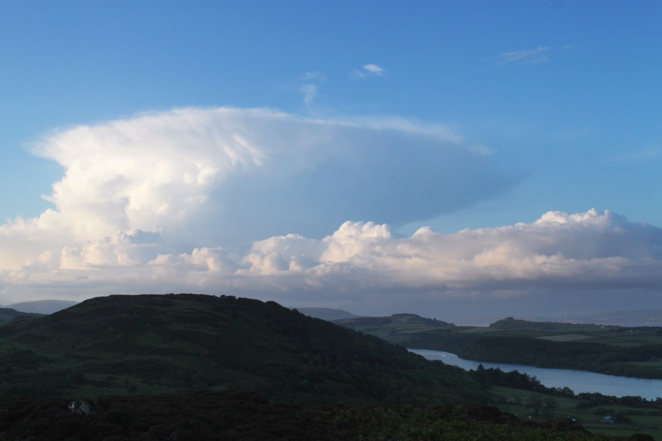
I've discovered many times that when navigation is made redundant, I become hyper-sensitive to the ground, remembering every landmark along the way. This was the case on Sight Hill. I had to be very careful to get the right pace and right direction. About 200 paces in (or there abouts), I searched for the summit, finding no markers as expected, but calling it a done deal once I'd walked around enough disorientating flat ground. You won't know you exactly made it up Sight Hill, but you'll have a pretty good idea. I got back to my bike in quick time and cycled - freewheeling - back down to Rhubodach. Lots and lots of fun which wasn't to last - because the minute I turned south on the main road, a sharp wind from the south blew into my face and I suddenly felt like I was going nowhere. It's probably the most frustrated I've ever felt on a bike: just miles of waiting to get to Rothesay. The bike suddenly felt sluggish and unresponsive. When I stopped, the wind was a gentle breeze. It seemed to kick up a notch when I moved. On the other hand, the views across the Kyles of Bute were just beautiful and if it weren't for the wind, it would have been the perfect cycle.
I slowly made it to Port Bannatyne and then Rothesay thereafter, where I met mum and dad. They'd been having coffee's, but I demanded we stay longer as I really needed a break!
But with that I'd completed Sight Hill, and thus finished all the northern Tops. Four remained - all short walks, three of which I would do this afternoon.
Castle Cree
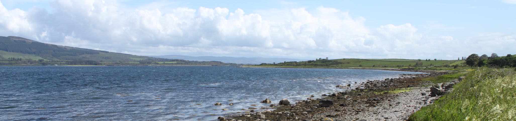
This top, Castle Cree, is near Ettrick Bay, and isn't a top as such than low lying moorland by the coast. It is an unremarkable 59m high, but the costal walk to get there is interesting, as seems the castle. Watch out for the raised beaches that rim much of the NW of Bute, they are very much visible around here.
The name Castle Cree is not a hill name, nor the name of the moor, but a dun which lies nearby. ScotlandsPlaces.gov.uk describe it as such: 'Castle Cree (name verified), an oval dun situated on a near vertical rock stack (protruding from a raised beach) which is joined to the coastal cliff by a narrow neck of land.' I hope they do not mind me using this text. I wish I had known about this when I was there for the added depth it gives the place.
As for my walk, dad and I left Ettrick Bay and walked the coastline to the raised beaches. We cut up near the castle itself and walked across the moor to the top. The sun was out, and Arran was clear across the water with it's pinnacled high summits hiding among the mists. This is a pretty unspectacular Top as far as they go, but I was glad to count another off the list. We returned by the fields instead of coastline, and followed the fences back to the road.


Quien Hill
After Castle Cree, we went into Rothesay for a few hours before returning to the hills for sunset. Quien Hill was the next choice, the most difficult of the Tops I had remaining. Not that it is very difficult at all: it's cairn is 650m from the road as the crow flies. But as with most of Bute, the terrain is very rough. Mum and dad dropped me at the Scalpsie Bay car park and I headed up the hillside behind Quien Farm. An instant fight ensued - a carpet of 6 foot high bracken, stumbling over little walls, thick gorse (get lost in that and you'll never escape) and the fences. In fact it was difficult all the way to the top!
Not as easy a hill as I had expected. Not by any means. It is short, which is some consolation. I was a little shocked at the rough-going nature of this wee hill. Most Tops on Bute were quite hard going to some extent, but Quien Hill was just ridiculous. I was routinely caught in a tangle of bog, bracken and gorse and usually it took some effort to extract myself.
I descended by a slightly different route than I had climbed up by, which inevitably meant that I got even more tangled among the gorse bushes than I had on the way up. The homeowner at Scalpsie was about; I wondered what he would have made of me thrashing through the undergrowth by his back garden! I made myself scarce, eventually dropping out by the road with a 400m walk back to the car park.
Originally I had planned Quien Hill because I had left it out on a circuit of the nearby hills. On the map, the five hills of Barony-Kerryfearn-Quien-Barmore-Blackpark seemed to make a logical round. But standing on Kerryfearn, I could barely see Quien Hill and decided to drop it from that group. I got those four hills done but left Quien out, and I came back on this day to complete it.
I wouldn't however recommend it from Scalpsie, but it seems to be the only reasonable way to gain the top. With Quien Hill complete, I had two small tops left: Hill of Ascog and Dunagoil. The last one of the trip had to be Dunagoil - it looked like such a beautiful Top from previous visits. So before going back to Rothesay for the night, we drove across to Ascog for me to climb my second last top.
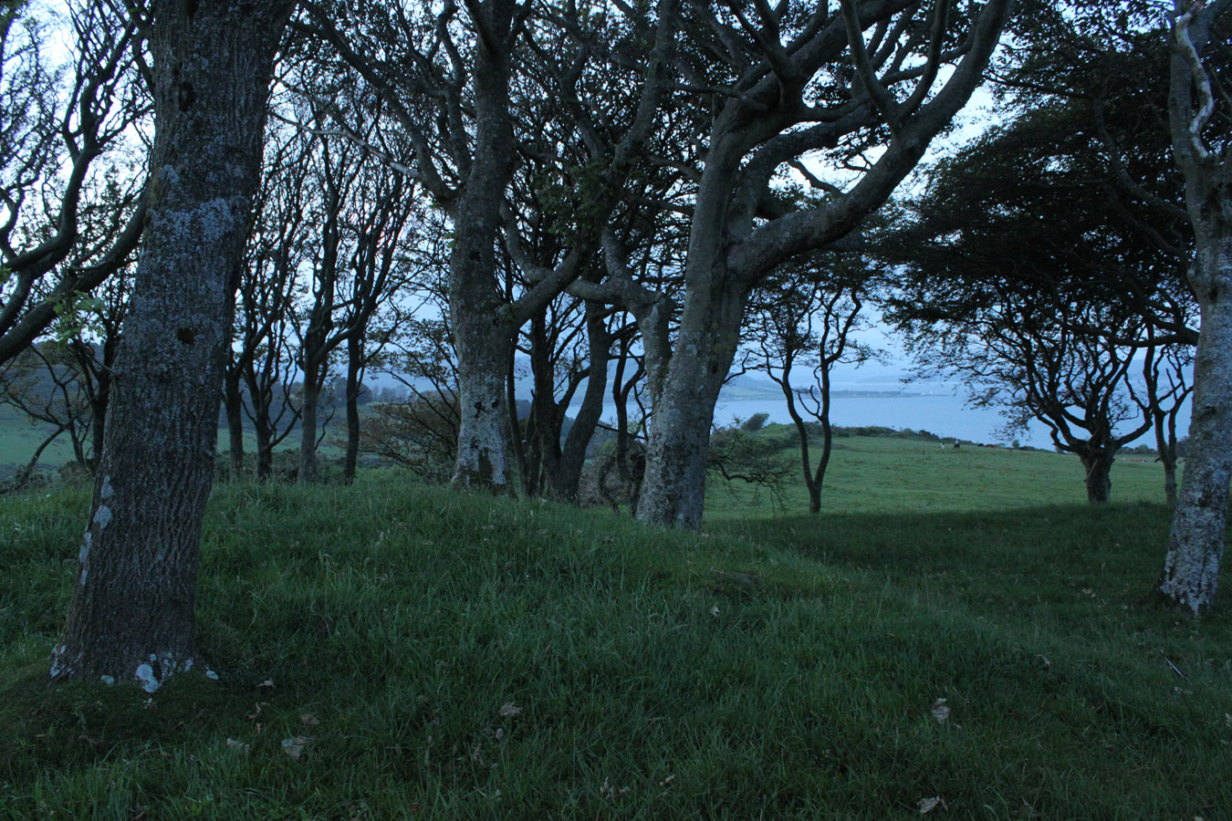
Hill of Ascog
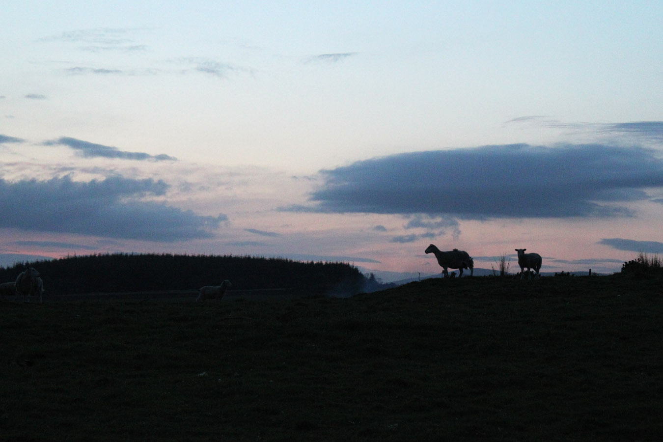
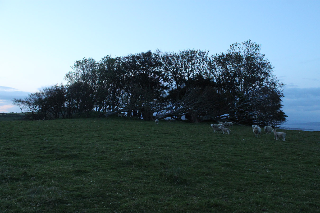
Hill of Ascog and Common Hill are similar Tops, and I'd climbed the latter at the start of the holiday. I can't admit to being too excited about Ascog, but it's on the list - always the excuse! So before heading back to our place, I left the car with mum and dad and walked up the fields to a summit covered in trees. The sun was down by this point and it gradually got dark. I made it up and down in twenty minutes, which says something about just how short this hill is.
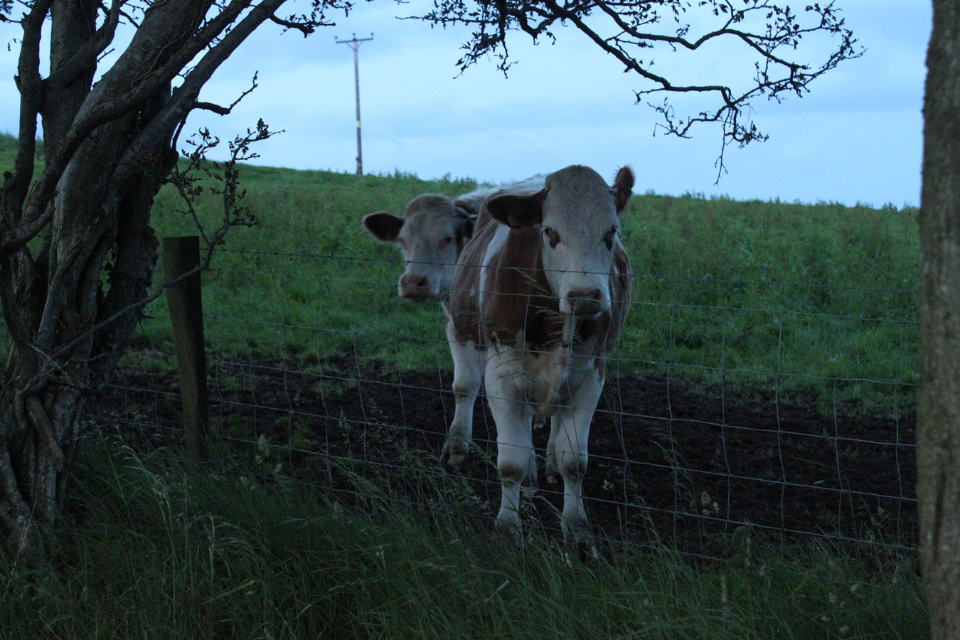
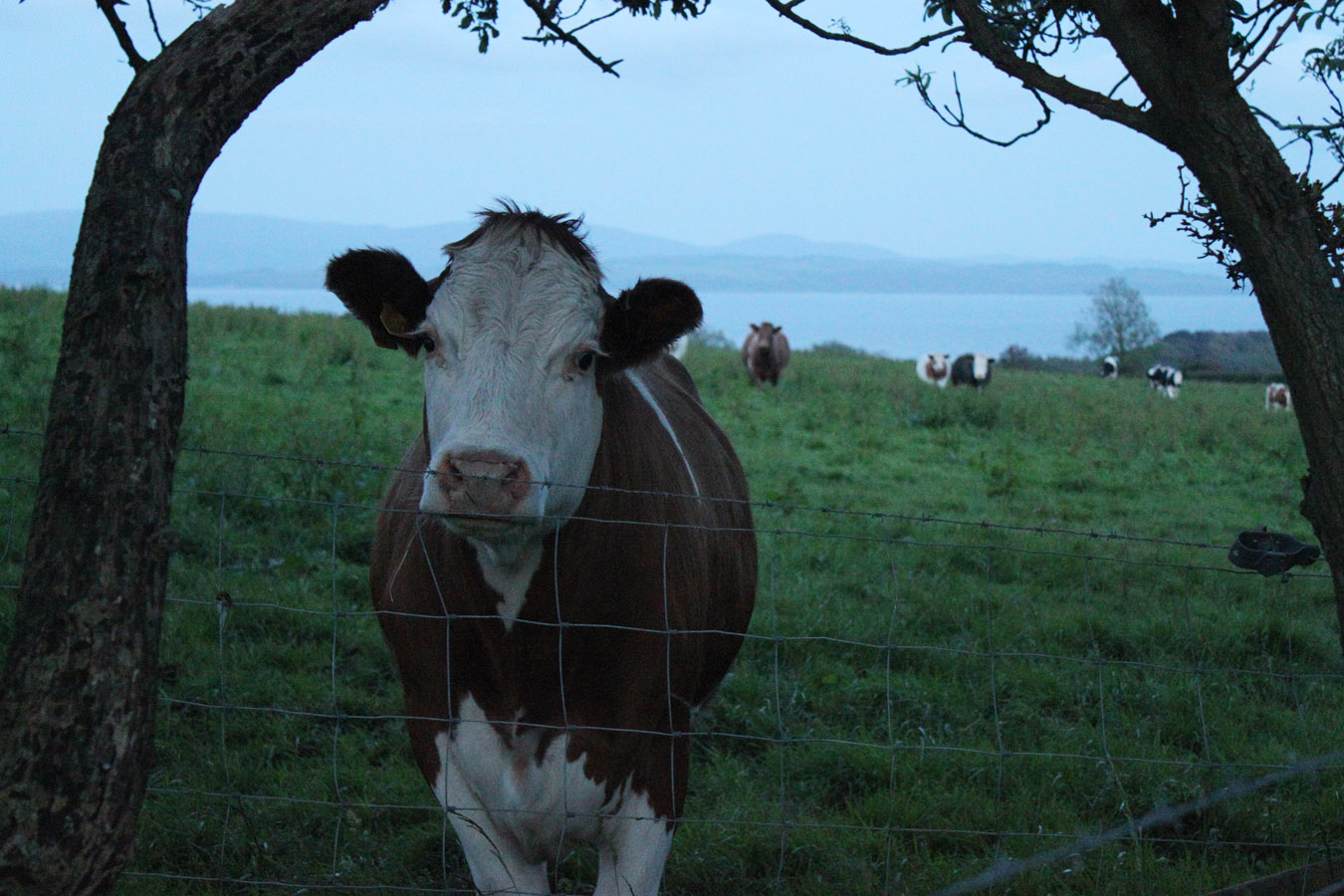
The most interesting part were the (very) violent bulls down by the road at the end. I'm sure that if that fence hadn't been there it would have been more than happy to maul me. But I fled back to the car and headed home for the night.
Just one to go!
Panoramas
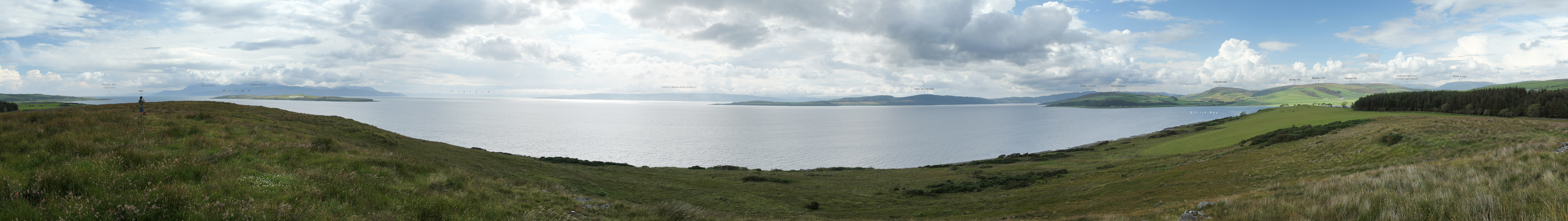
Castle Cree 240°

Quien Hill 360°
Times (Time relative to 0.00)
(0.00) 12.25pm Rhubodach
(0.45) 1.10pm Bike drop-off
(1.05) 1.30pm Sight Hill
(1.10) 1.35pm Bike pick-up
(2.25) 2.50pm Rothesay
(2.25) 4.10pm Ettrick Bay
(3.00) 4.55pm Castle Cree
(3.35) 5.30pm Ettrick Bay
(3.35) 8.35pm Scalpsie
(3.55) 8.55pm Quien Hill
(4.20) 9.20pm Scalpsie
(4.20) 10.05pm Nr. Loch Ascog
(4.27) 10.12pm Hill of Ascog
(4.35) 10.20pm Nr. Loch Ascog
Written: 2012-01-26