Meall nan Ruadhag - 647m
Monday 25th June 2018
Monday 25th June 2018
 Weather/Conditions: Awesome summer weather - warm, settled, good visibility.
Distance/Ascent/Time: 11.3km / 400m / 2h 50m
Accompanying: Alone
I was driving back north after a couple days in Glasgow. The weather driving over the Moor was unbelievably good. I was tempted for going up a hill, and wondered about something that would only take a few hours.

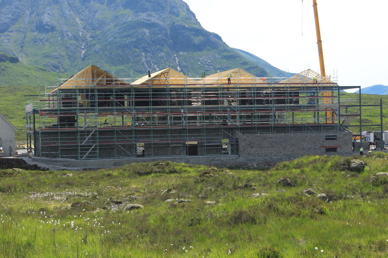
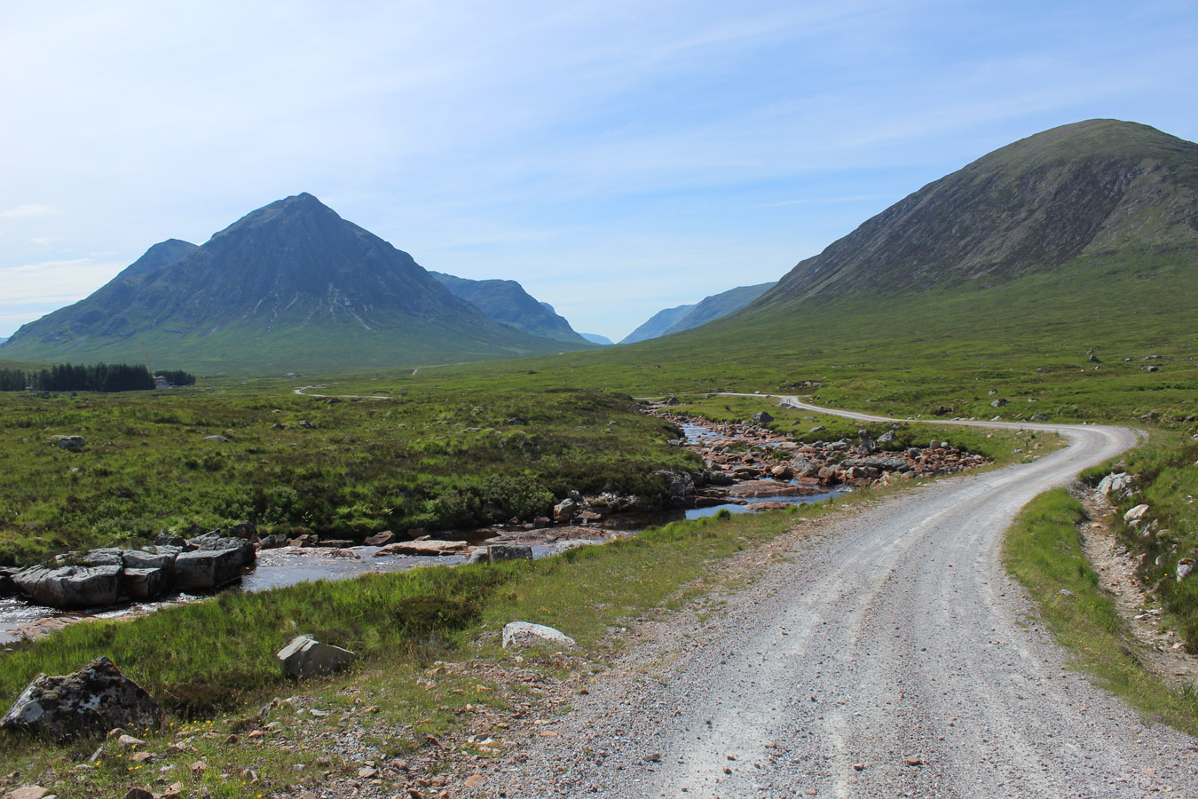
I stopped in at the ski centre where Tom was working, got a quick roll, then down to Kingshouse and parked out the back. The building was a total construction site at this point, and it's a big new hotel -- a vast change from the last place. Better in most ways, though I’m sure some will mourn the days of the climber’s bar and a wealth of mountaineering history now gone. From the Kingshouse I walked up the track toward the Black Corries. If I'd thought to bring my bike this would have been even quicker!
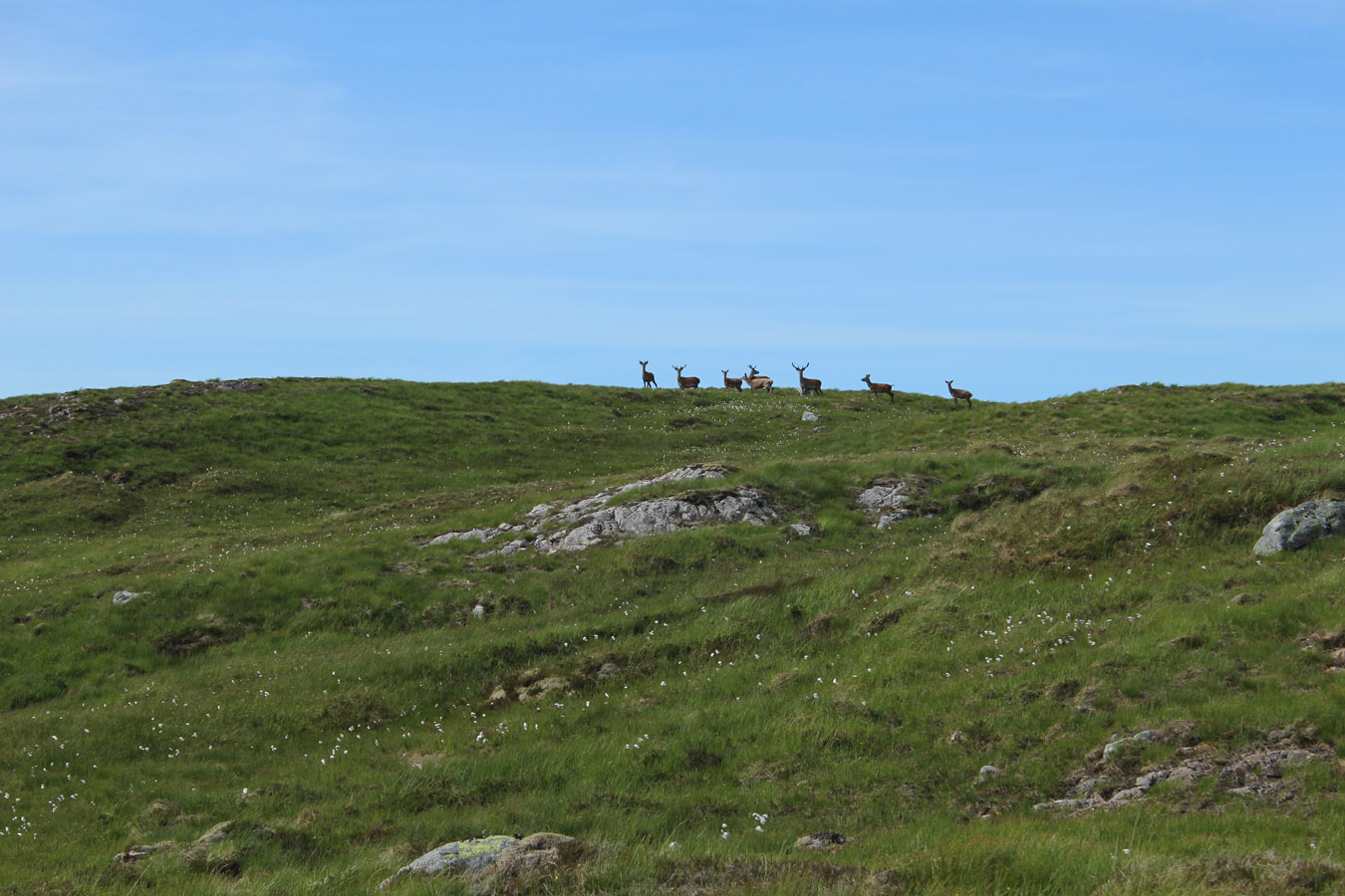
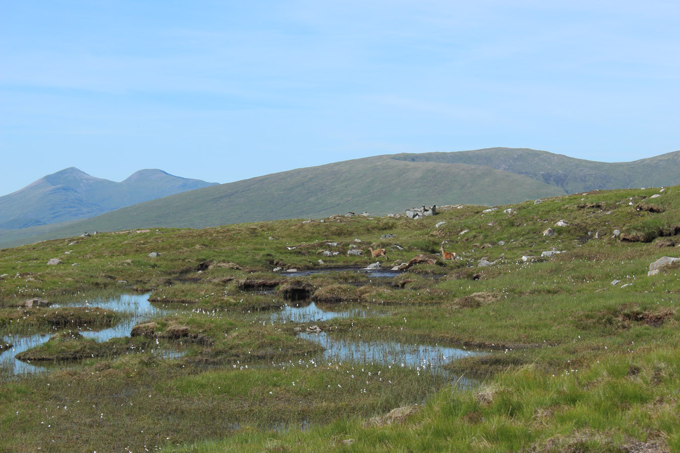
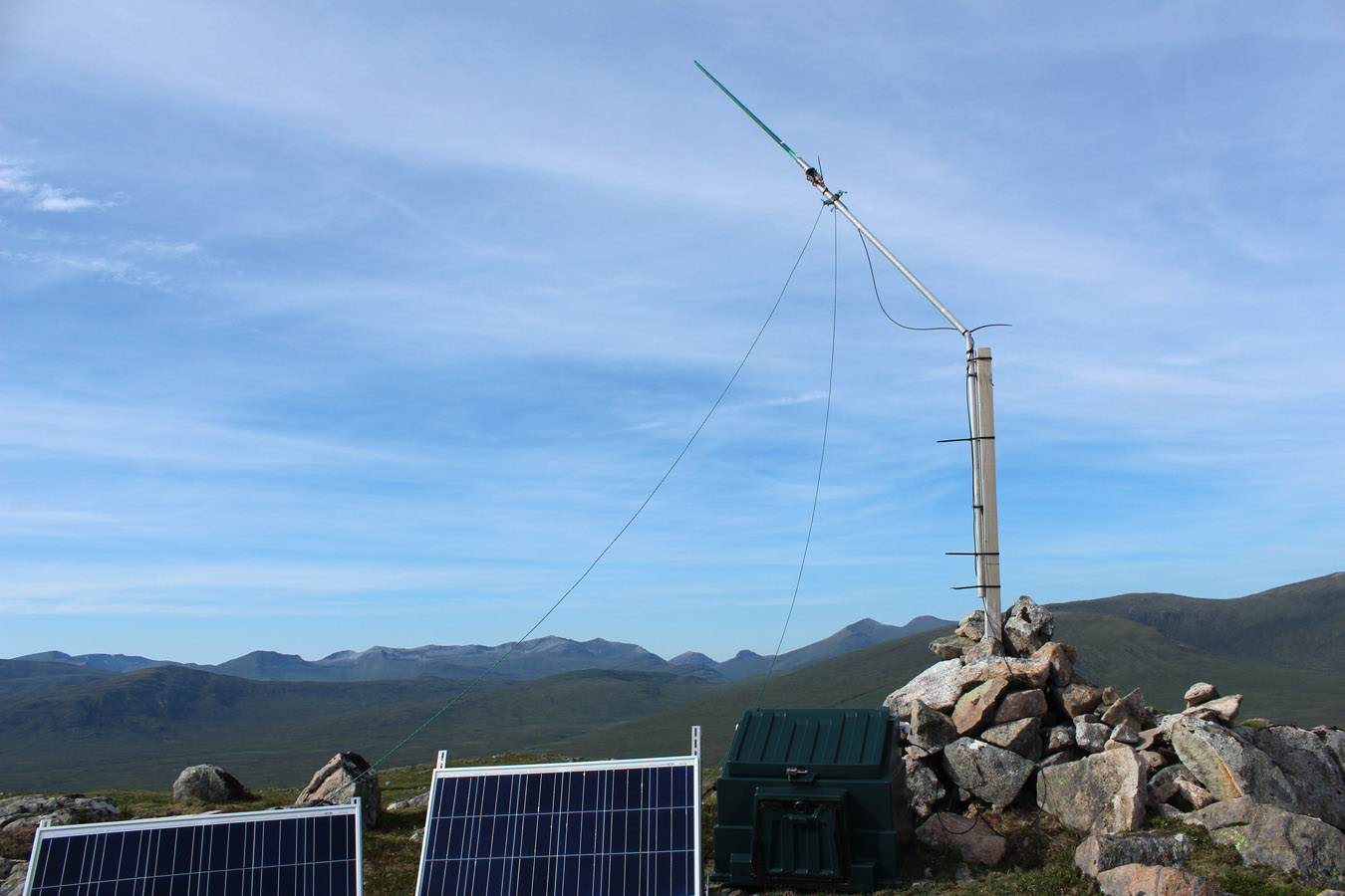
Just before Black Corries Lodge, I cut onto the hill up a vague spur on Leacann nam Braonan. The hills were dry and parched; the deer scampered off the slopes. All was silent but for the plovers call. And I wound my way up the gentle hillside to the top, where an antenna and solar panel were set up; no doubt for the lodge.
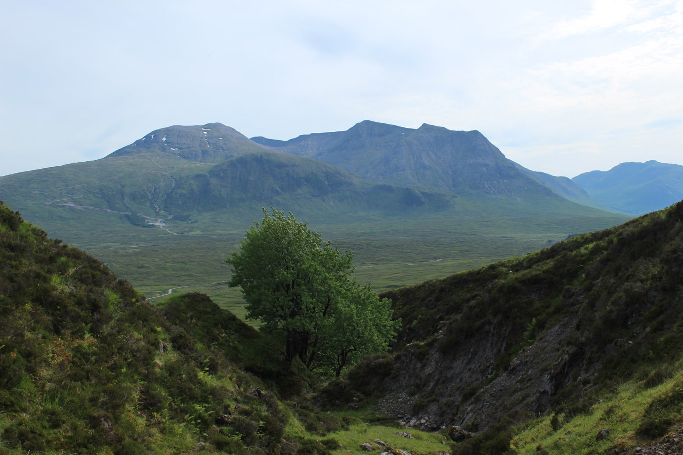
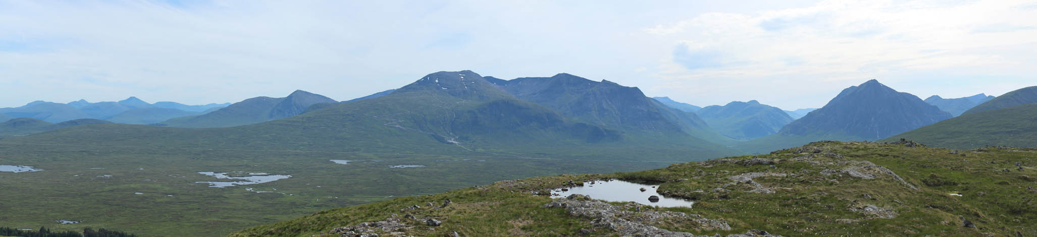
Over the top, the Blackwater Reservoir was prominent. I spent some time on top, just sitting, chilling, contemplating... Looing east I could appreciate just how much further it was out to Stob na Cruaiche - I'd been up that about a year previously and it was a long walk. Perhaps I didn't fully appreciate until just after the fact! Elsewhere, all around were the rolling hills leading into the Central Highlands. They lose their really dramatic edge and instead become this more gentle, but barren, upland. The ridges become more subtle, and everything looks smoothed off just as the glaciers would have made them.
For the first time I also had Viewranger running on my phone, so although I messed up the tracking a bit, it's the first ever hill I'd used a phone GPS for. Six months later I'm using this app every day, so it's been successful to say the least.
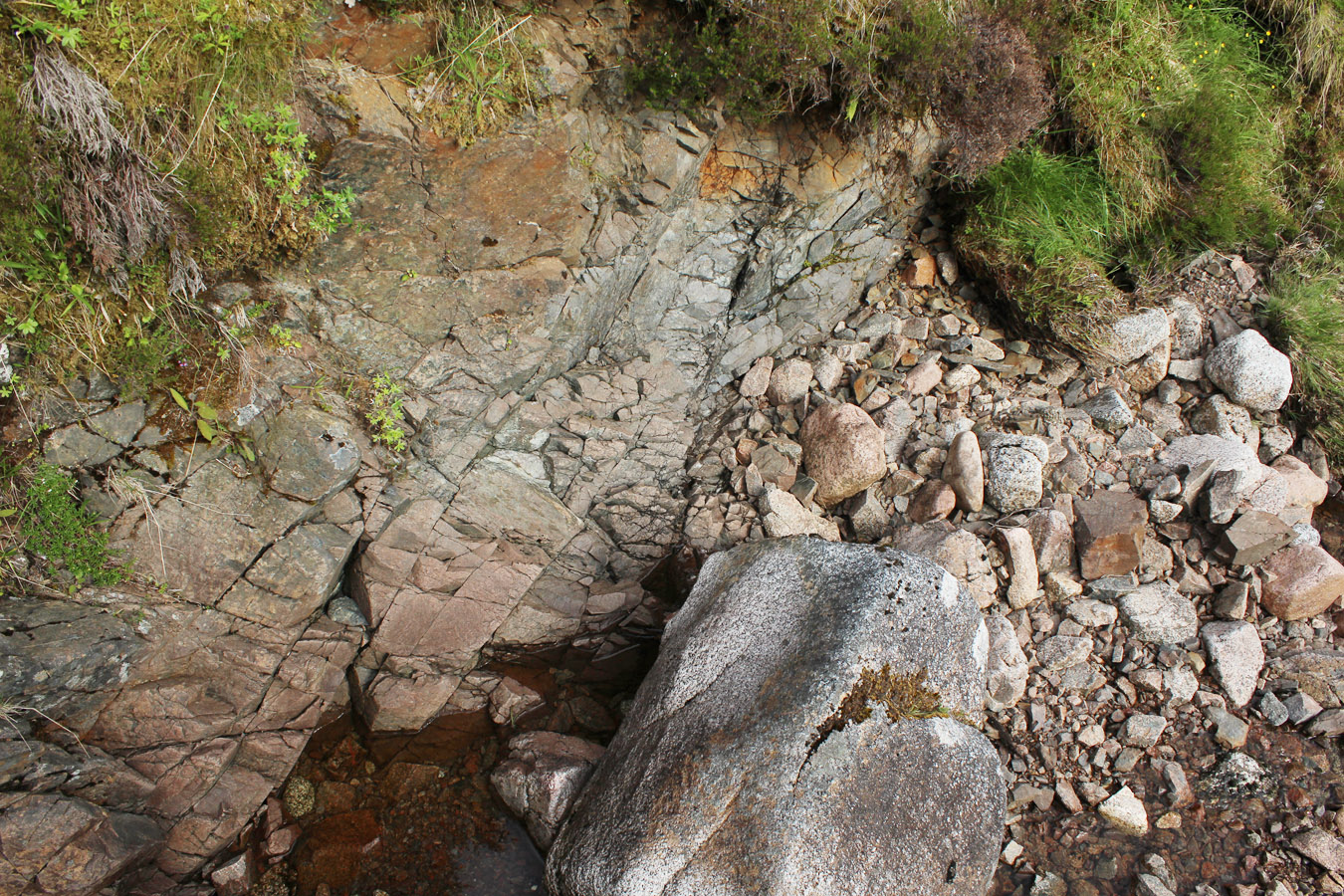
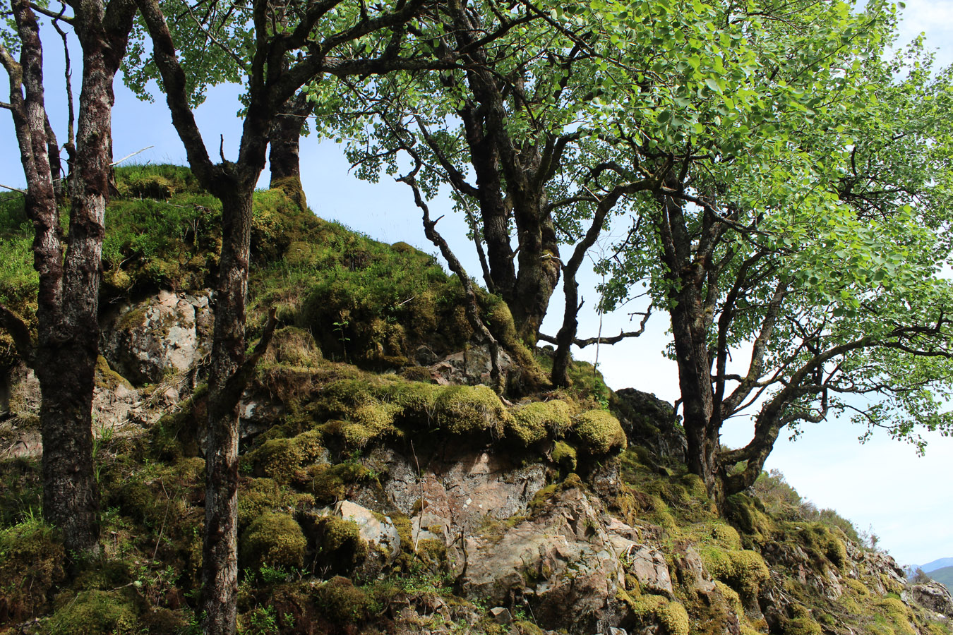
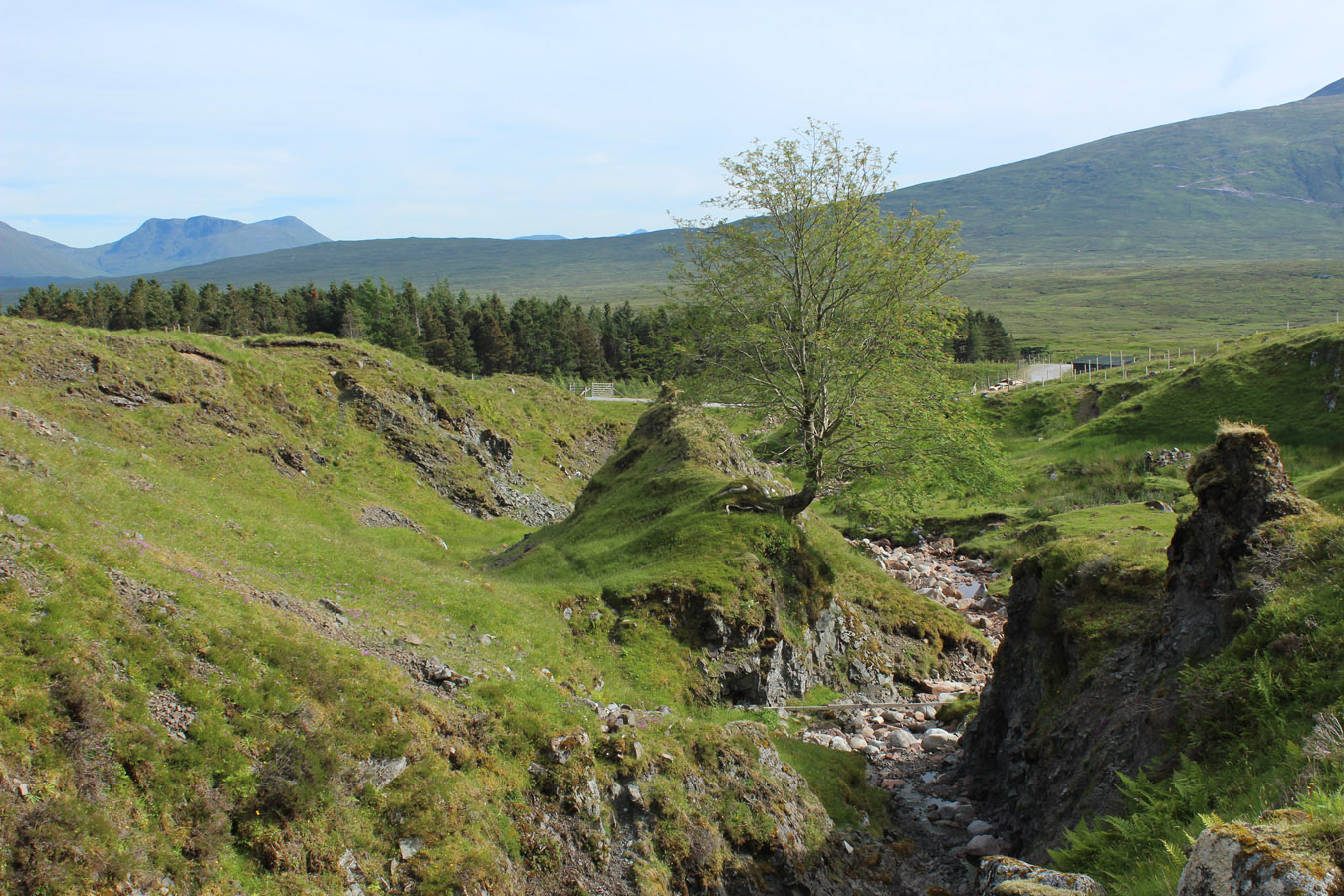
On the way down, I went by the line of Allt Chailleach, a burn that exploits a fault in the underlying geology. It gave some interest on the way down, including moments o woodland that are all too fleeting. The trees cling to the edge of the burn where the deer can't get at them. it's a scene repeated over and over throughout the Highlands, and tells something of how the land might look if grazing pressures weren't as they are. I reappeared on the Black Corries track and walked out. It had been a good hill, and just a couple hours. It was a new hill for me, and new ground. The following day I upped the ante a touch and climbed all the Moidart hills from Glenfinnan to Lochailort!
360° Panorama

Meall nan Ruadhag
Times (Time relative to 0.00)
(0.00) 3.30pm Kingshouse
(1.20) 4.50pm Meall nan Ruadhag
(1.45) 5.15pm Meall nan Ruadhag (left)
(2.50) 6.20pm Kingshouse
(0.00) 3.30pm Kingshouse
(1.20) 4.50pm Meall nan Ruadhag
(1.45) 5.15pm Meall nan Ruadhag (left)
(2.50) 6.20pm Kingshouse
Written: 2019-01-27